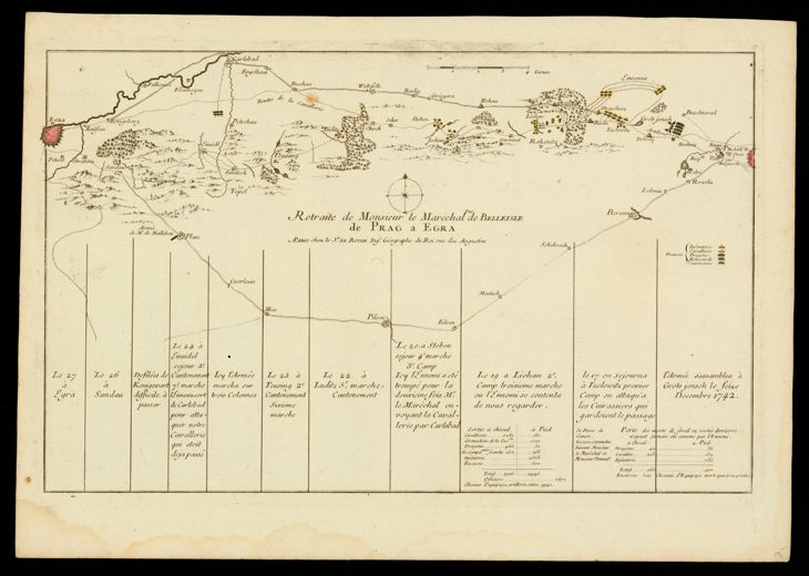
The image shows a map of the British Virgin Islands, with a black background.
Read full description
The image shows a map of the British Virgin Islands, with a black background. It is a detailed map, showing the route of the French Revolution, with various geographical features such as rivers, mountains, and cities labeled. The map also includes labels for the various cities and towns along the route, as well as a legend that explains the different colors used to represent the different regions.