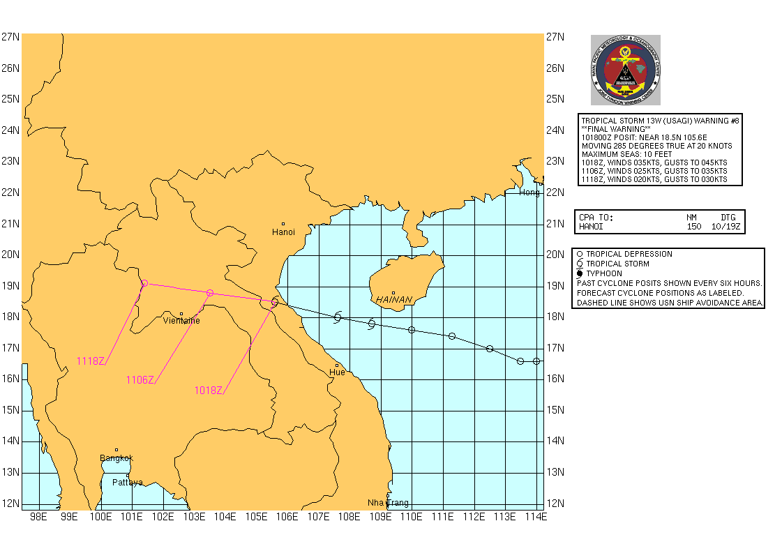
The image shows a map of the Gulf of Mexico with a logo at the top right corner and text and numbers indicating the path of Hurricane Irene.
Read full description
The image shows a map of the Gulf of Mexico with a logo at the top right corner and text and numbers indicating the path of Hurricane Irene. The map is filled with various shades of blue, indicating the intensity of the storm, and the text provides additional information about the storm's path.