Public domain photos
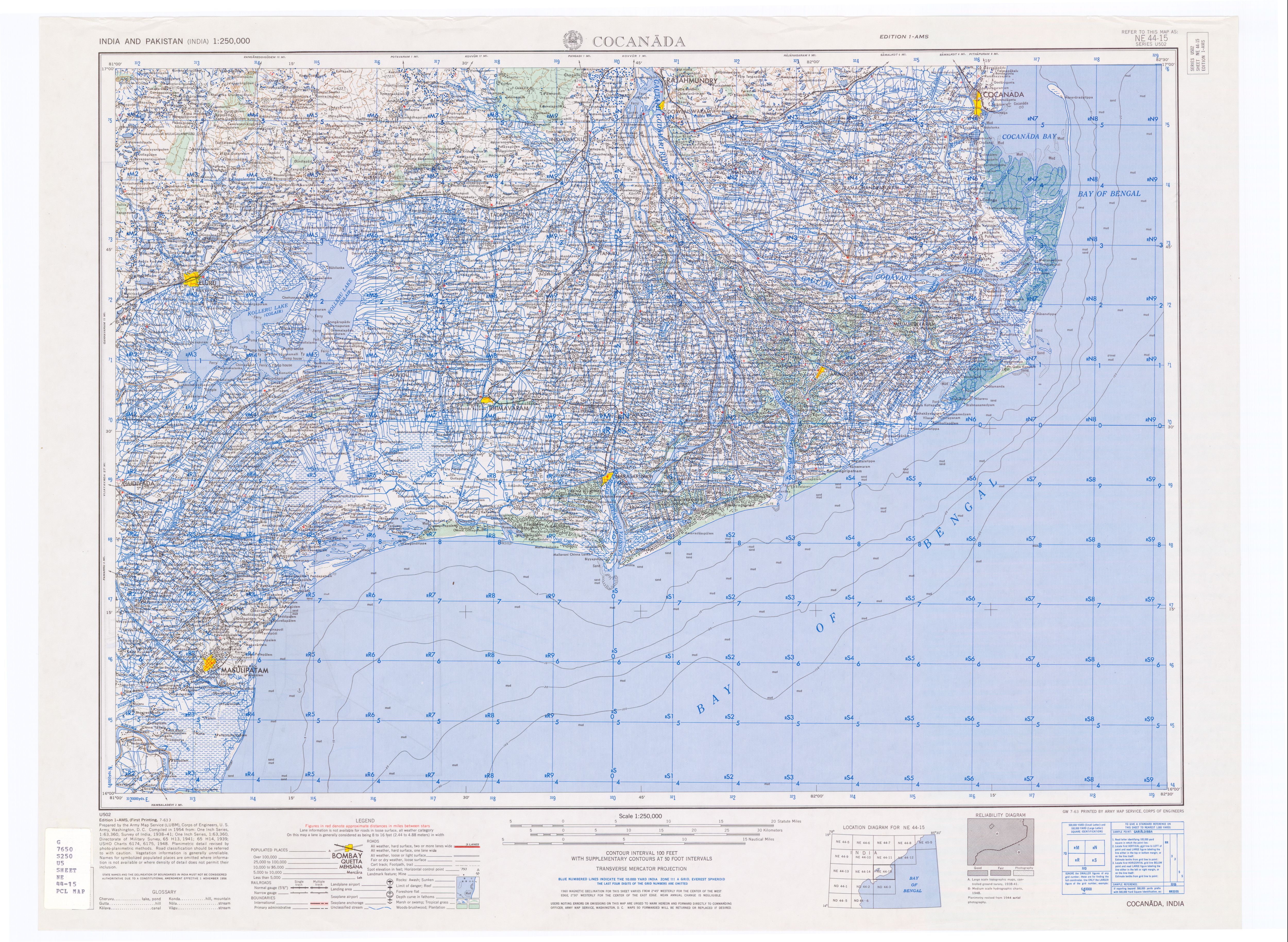
The image shows a large detailed topographic map of the British Virgin Islands, framed in a photo frame. The map is filled with intricate lines and text, providing a comprehensive overview of the area.
 Open in library
Public domain photos
Open in library