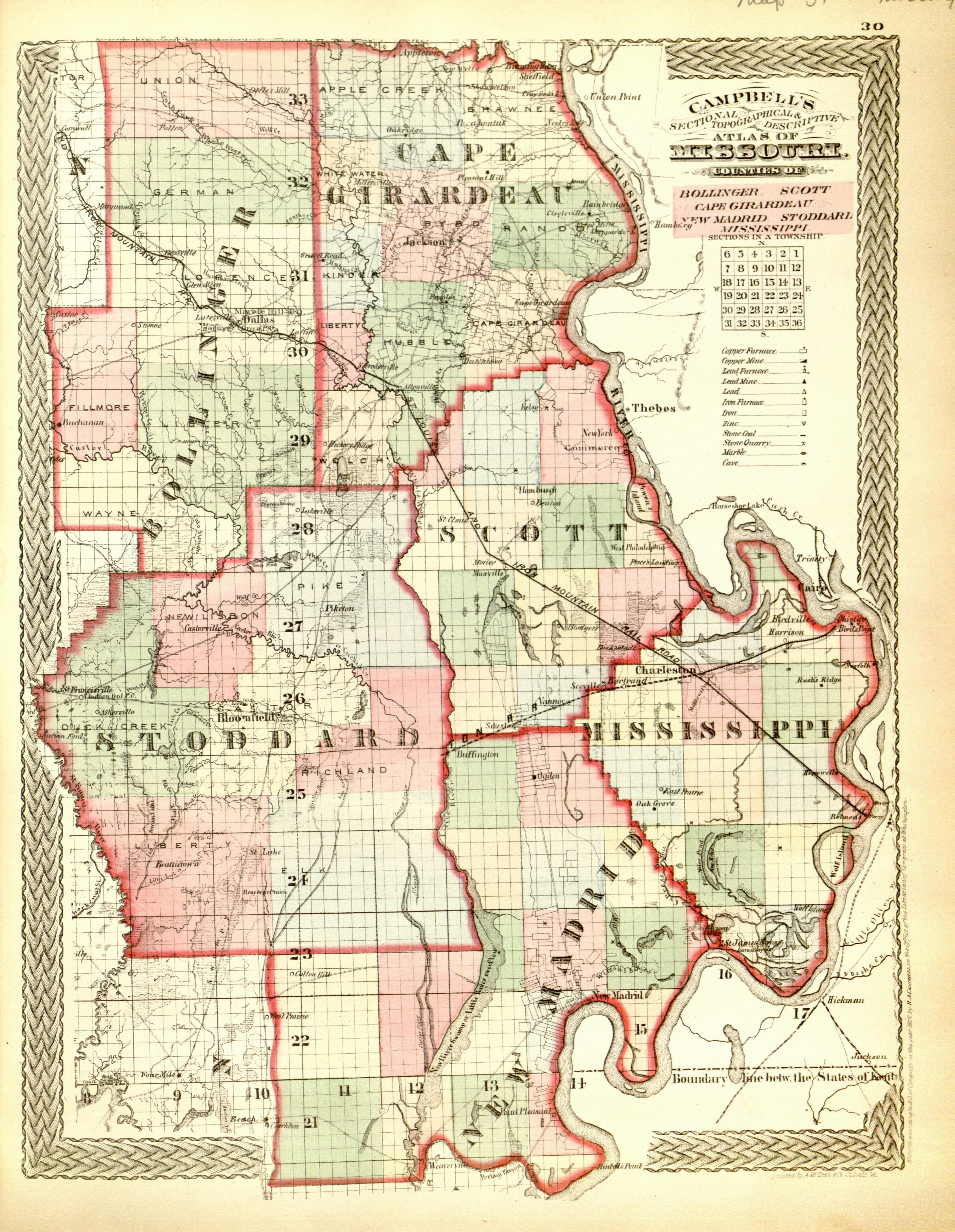
The image shows an old map of the state of Mississippi, with Campbell's Atlas of Mississippi.
Read full description
The image shows an old map of the state of Mississippi, with Campbell's Atlas of Mississippi. It is a detailed map, showing the various cities, towns, rivers, and other geographical features of the region. The map is printed on a paper, giving it a classic look.