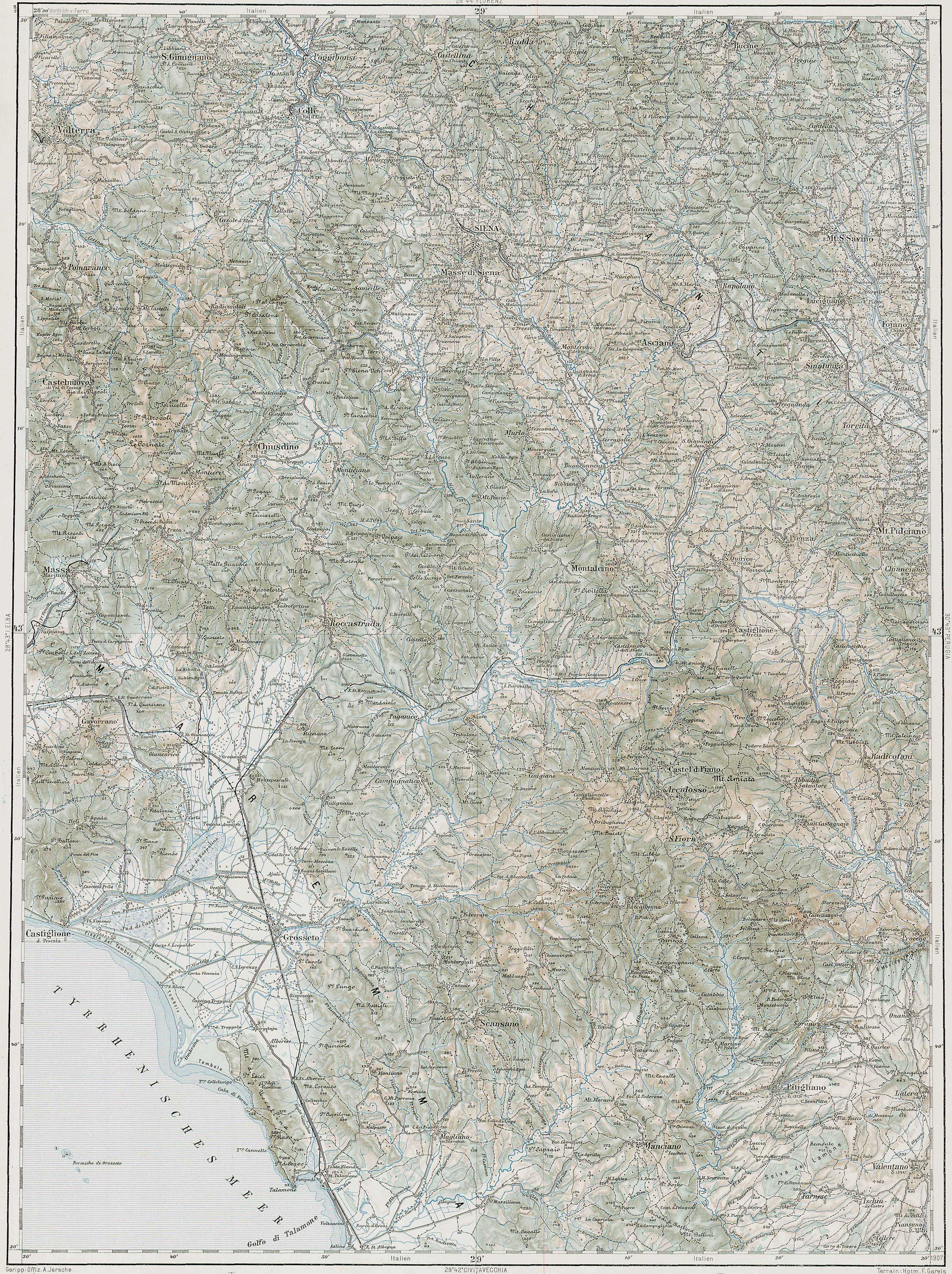
The image shows an old topographic map of the British Columbia region of England, with a border around it.
Read full description
The image shows an old topographic map of the British Columbia region of England, with a border around it. The map is detailed and shows the various geographical features of the region, such as rivers, mountains, and cities. The borders of the map are clearly visible, providing a comprehensive overview of the area.