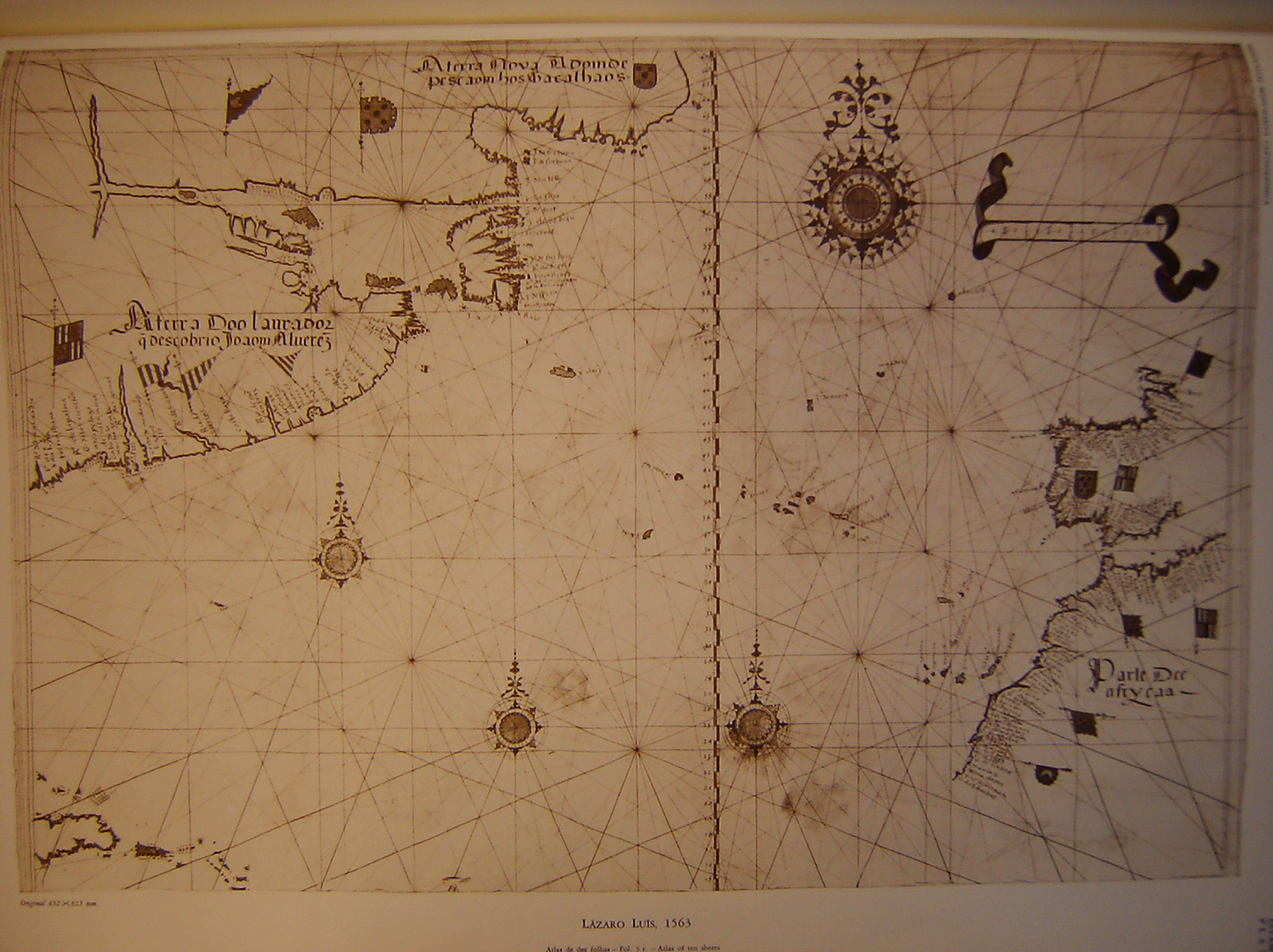
The image shows an old map of the British Isles on display in a museum.
Read full description
The image shows an old map of the British Isles on display in a museum. The map is cream-colored and features intricate designs and text. It appears to be a nautical chart, with various geographical features such as mountains, rivers, and cities labeled.