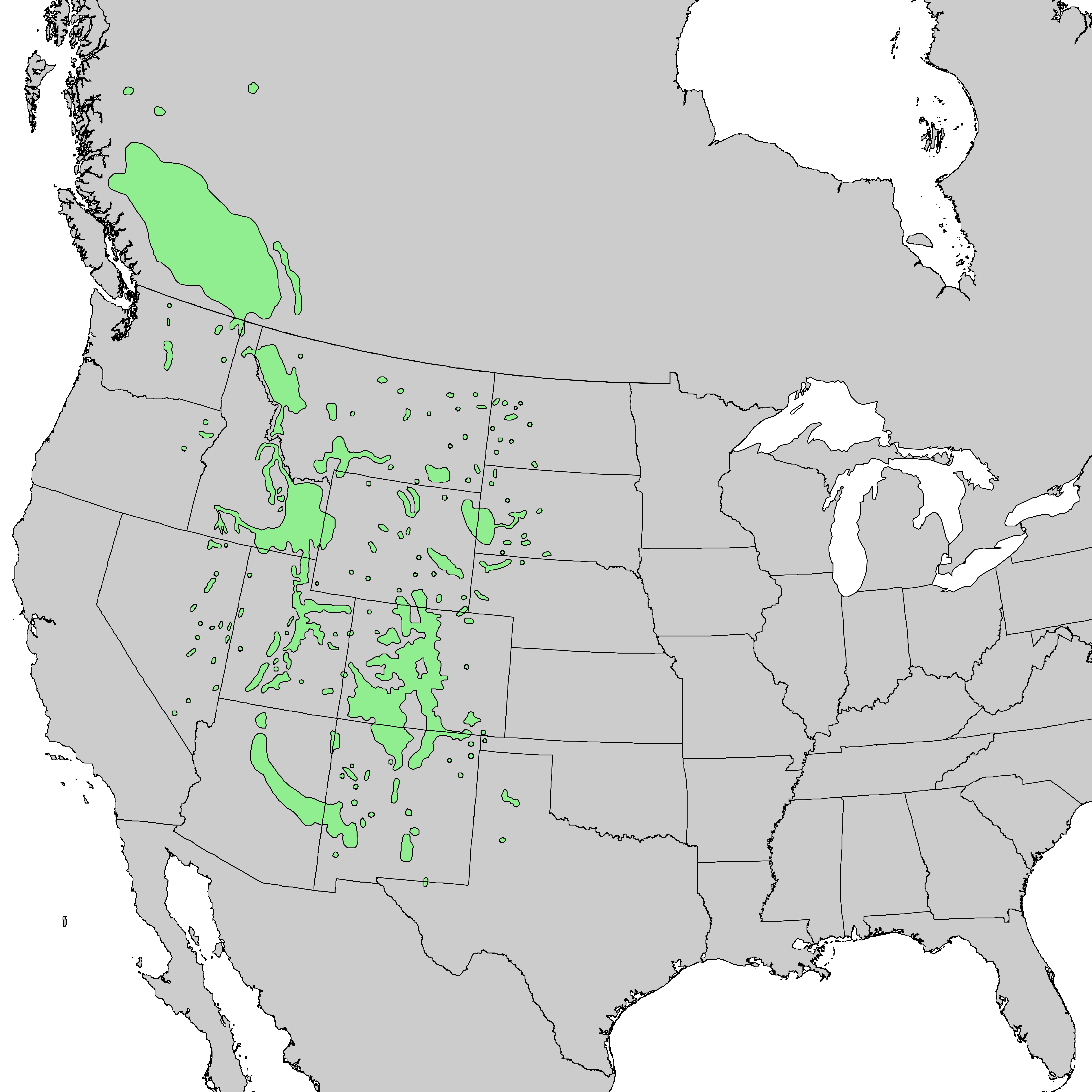
The image shows a map of the United States with a green area indicating the extent of the Great Lakes.
Read full description
The image shows a map of the United States with a green area indicating the extent of the Great Lakes. The map is filled with various shades of green, indicating the varying levels of vegetation in the region. The text on the map provides additional information about the region, such as the names of the major cities, rivers, and other geographical features.