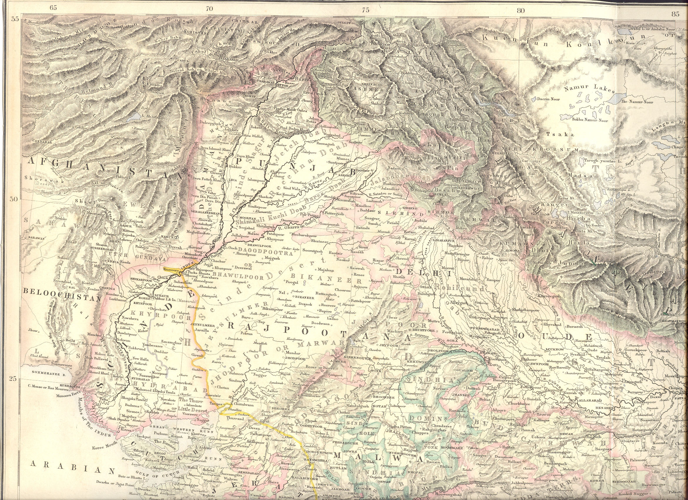
The image shows an old map of the British Empire in the 19th century, depicting the extent of the Persian Empire.
Read full description
The image shows an old map of the British Empire in the 19th century, depicting the extent of the Persian Empire. It is a detailed map, showing the various geographical features of the region, such as mountains, rivers, and cities, as well as the major cities and towns within. The map is framed in a black border, giving it a classic look.