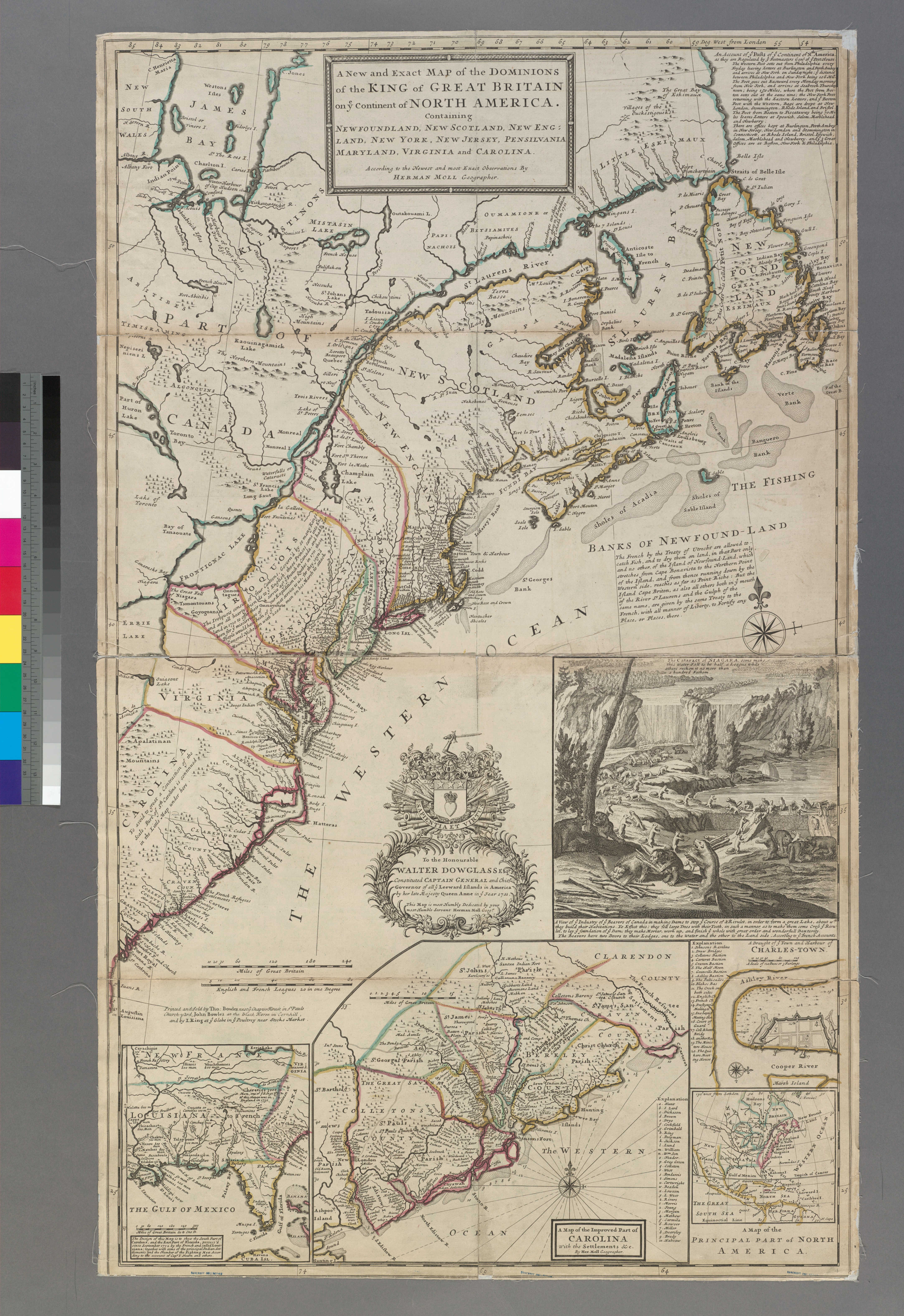
The image shows a map of the British Isles and the British Virgin Islands, with text and pictures on the paper.
Read full description
The image shows a map of the British Isles and the British Virgin Islands, with text and pictures on the paper. On the left side of the image, there are different colors of the map, giving it a vibrant and eye-catching look. The map is detailed, showing the various geographical features of the region, such as rivers, mountains, and cities, as well as the major cities and towns within. The colors used in the map are bright and vivid, making it a great addition to any wall.