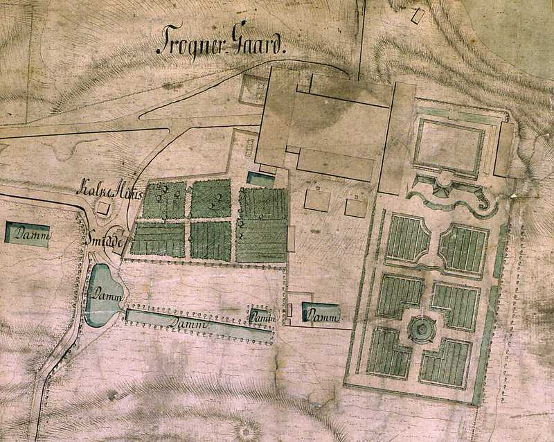
The image shows an old map of the city of Trogner, with a drawing of a building in the middle of it.
Read full description
The image shows an old map of the city of Trogner, with a drawing of a building in the middle of it. The map is detailed and shows the layout of the building, as well as the surrounding area. The text on the map provides further information about the city, such as its size, location, and other features.