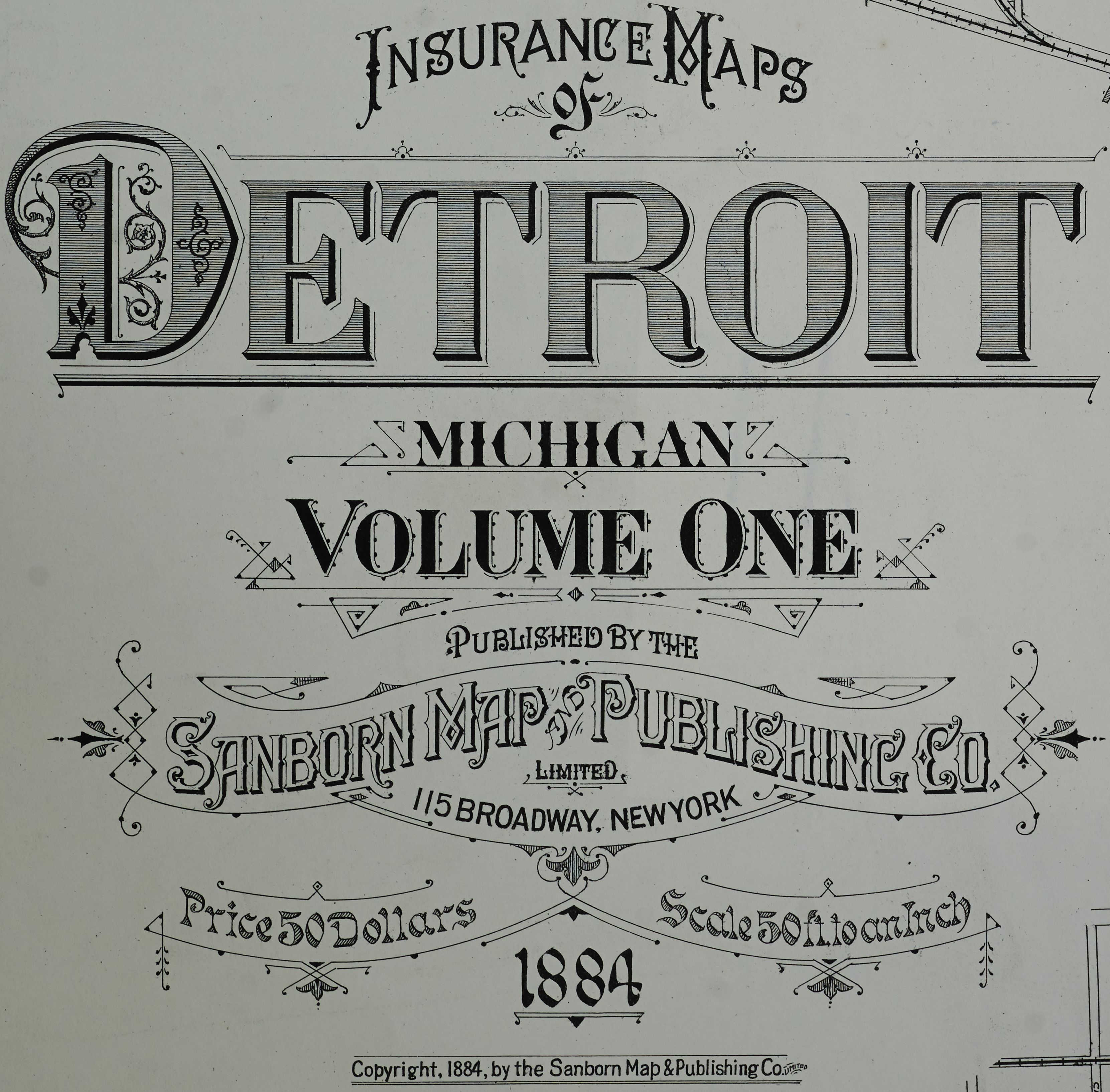
The image shows an insurance map of Detroit, Michigan from 1884, Volume One.
Read full description
The image shows an insurance map of Detroit, Michigan from 1884, Volume One. It is a detailed map of the city, showing the streets, parks, and other landmarks of the area. The map is printed on a white paper with black text, and the title of the map is written in bold font at the top.