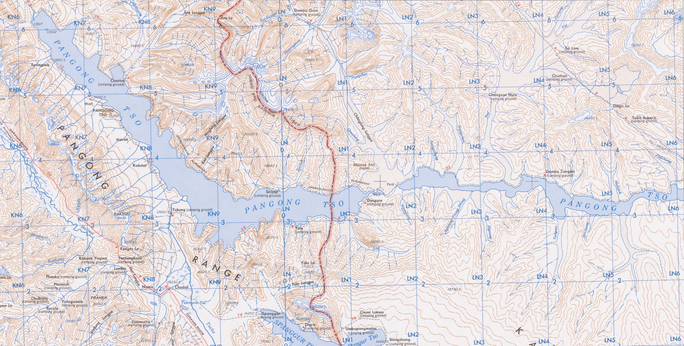
The image shows a topographic map of the area with a river running through it.
Read full description
The image shows a topographic map of the area with a river running through it. It is a top view of the map, showing the contours of the terrain and the various elevations of the land. The map is filled with various shades of blue, green, and yellow, indicating the different elevations and contours. The river is depicted in the center of the image, winding its way through the landscape.