Public domain photos
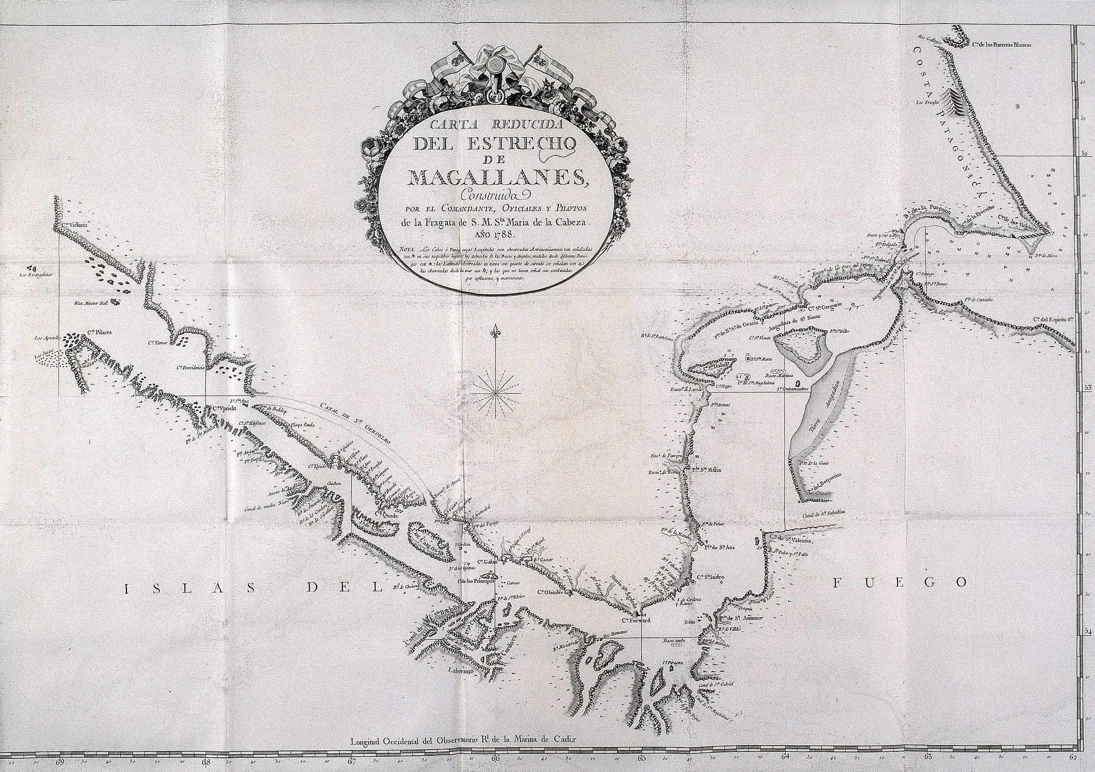
The image shows an old map of the British Virgin Islands, with text written on it. It is a carta reducida del estrecho de magallanes, which is a detailed map of a small island in the middle of the ocean. The map is filled with intricate details, such as mountains, rivers, and other geographical features. The text on the map is written in a bold font and is surrounded by a decorative border.
 Open in library