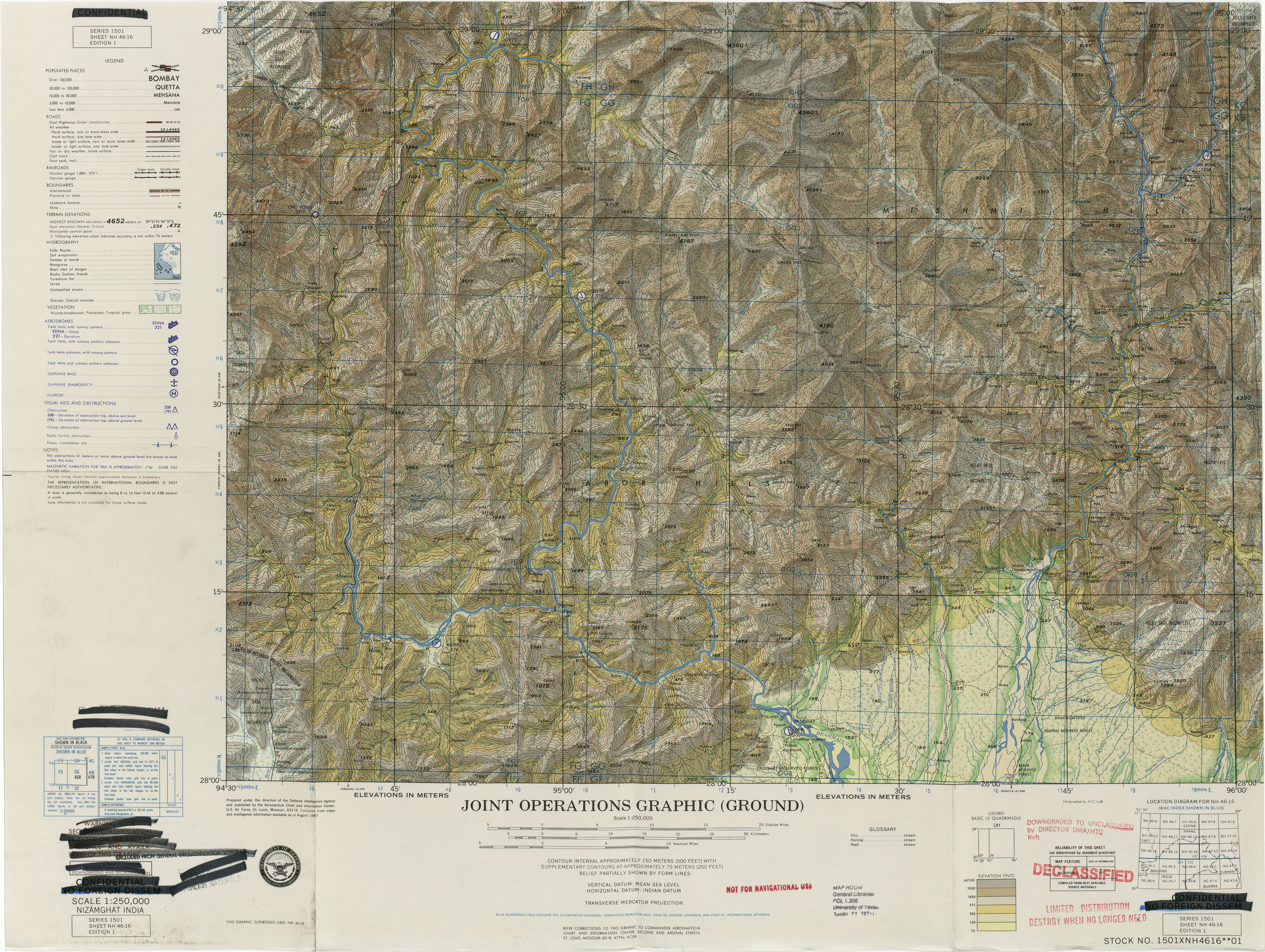
The image shows a topographic map of the United States of America, specifically the Joint Operations Graphic Ground.
Read full description
The image shows a topographic map of the United States of America, specifically the Joint Operations Graphic Ground. It is a detailed map, showing the various elevations and contours of the terrain, as well as the various bodies of water and other features of the area. The map is labeled with the names of the major cities, towns, and other geographical features.