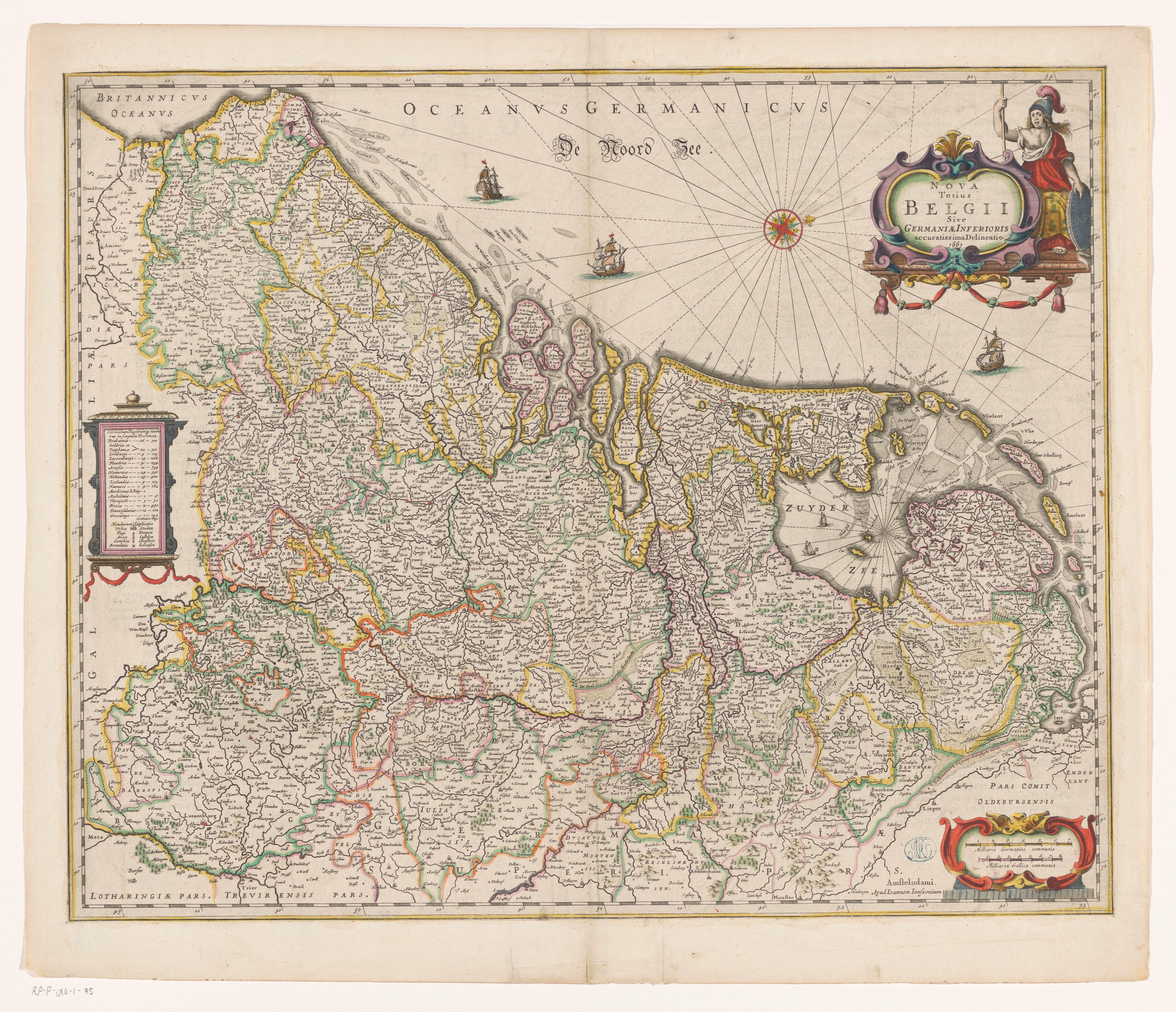
The image shows a map of the Netherlands and the Netherlands in the 16th century.
Read full description
The image shows a map of the Netherlands and the Netherlands in the 16th century. It is a detailed map with text and pictures, depicting the borders of the two countries. The map is filled with intricate details, such as rivers, mountains, and cities, and is surrounded by a decorative border. The colors used are mostly shades of blue, green, and yellow, giving the map a vibrant and eye-catching look.