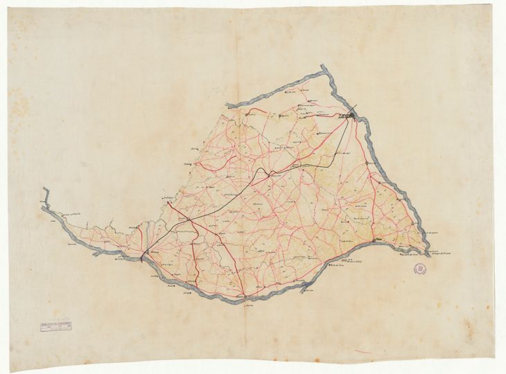
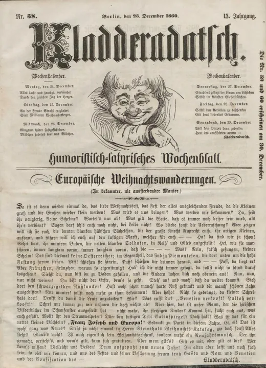
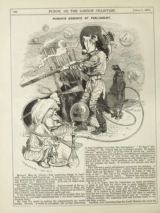
The image shows an old map of the British Isles with red lines on a white background.
Read full description
The image shows an old map of the British Isles with red lines on a white background. The map is from the 18th century and is a detailed representation of the area. The red lines indicate the various roads and highways that make up the map, while the white background provides a stark contrast to the map.