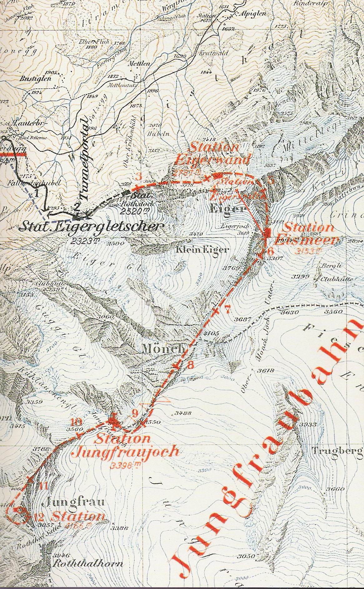
The image shows an old topographic map of the Jungfrau area, with a red line indicating the route to the top of the mountain.
Read full description
The image shows an old topographic map of the Jungfrau area, with a red line indicating the route to the top of the mountain. The map also includes text detailing the various features of the area, such as elevation, terrain, and other landmarks.