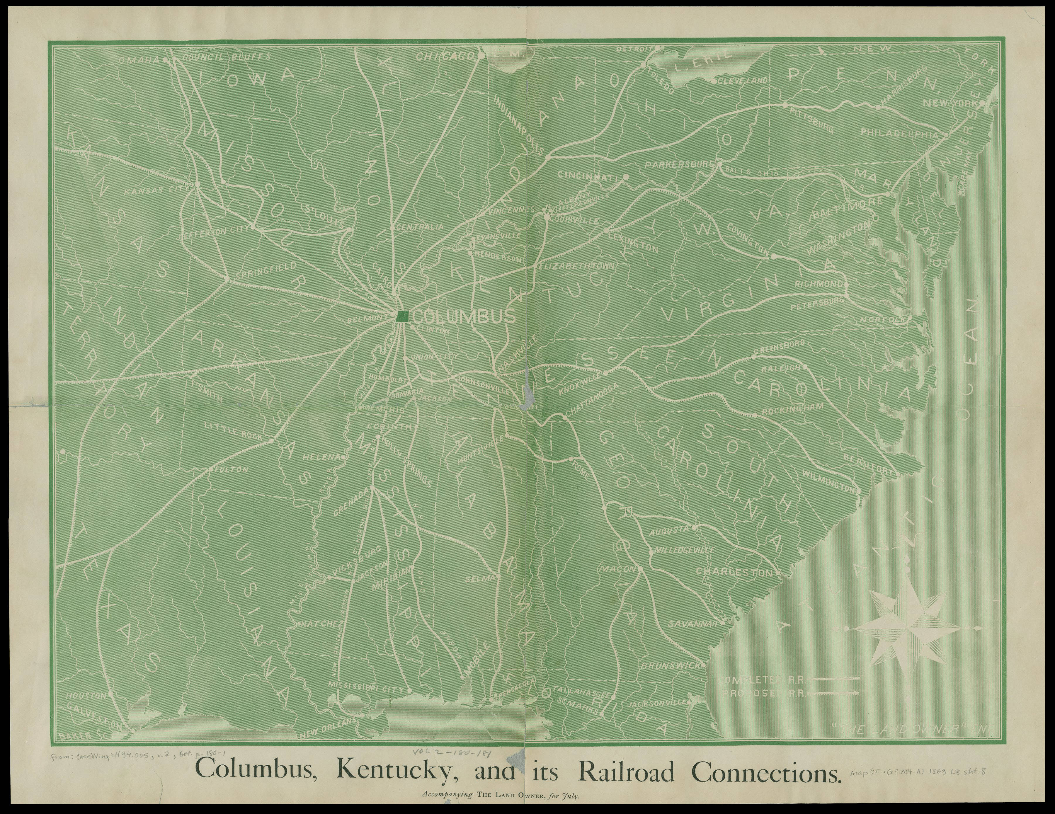
The image shows a map of Columbus, Kentucky and its railroad connections.
Read full description
The image shows a map of Columbus, Kentucky and its railroad connections. It is a detailed map with roads, cities, and other geographical features clearly visible. The text at the bottom of the image provides additional information about the railroad connections between the two cities.