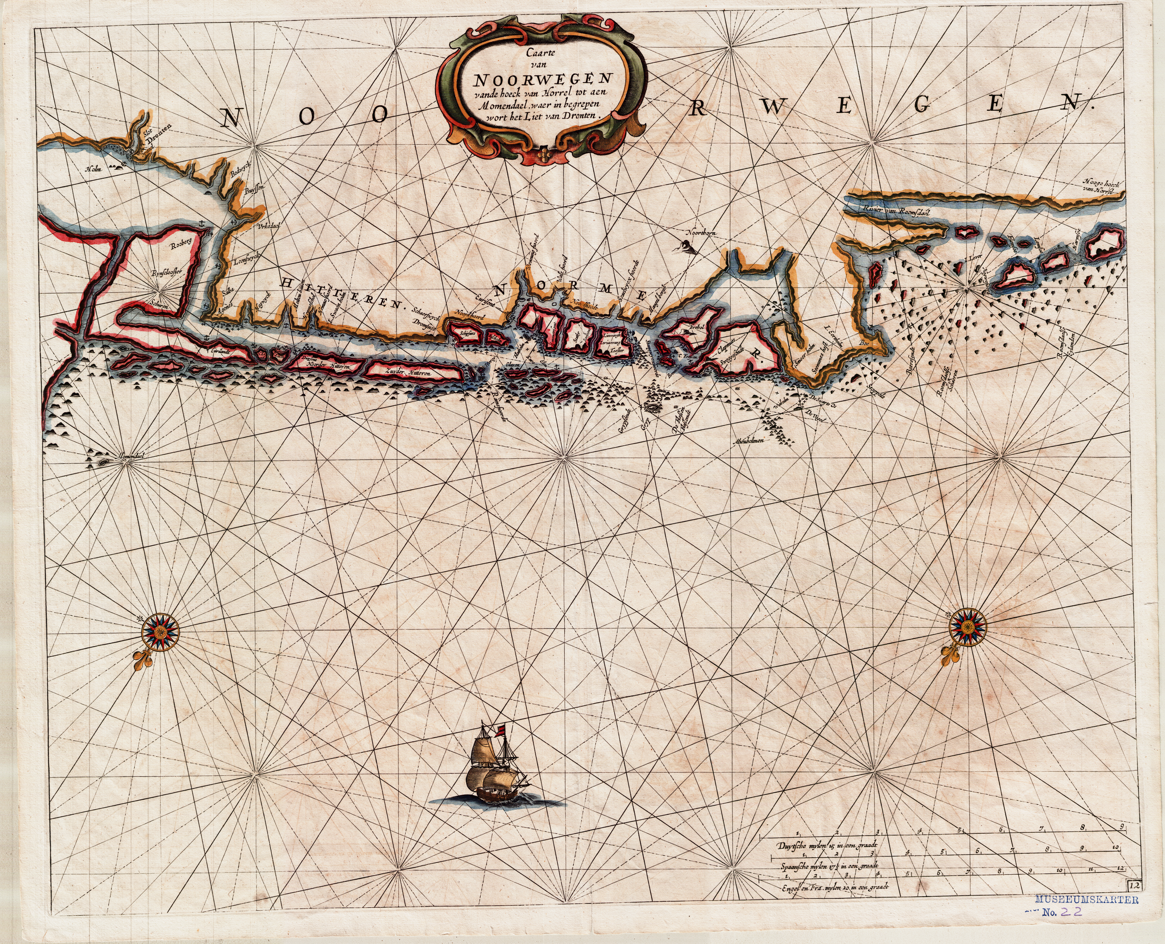
The image shows a poster of a map of the British Isles, with a boat in the foreground and text at the top.
Read full description
The image shows a poster of a map of the British Isles, with a boat in the foreground and text at the top. The map is of the coast of the Netherlands, with the islands of Holland and the Netherlands clearly visible. The boat is sailing on the water, with its sails billowing in the wind. The text on the poster provides additional information about the map, such as the names of the islands and their locations.