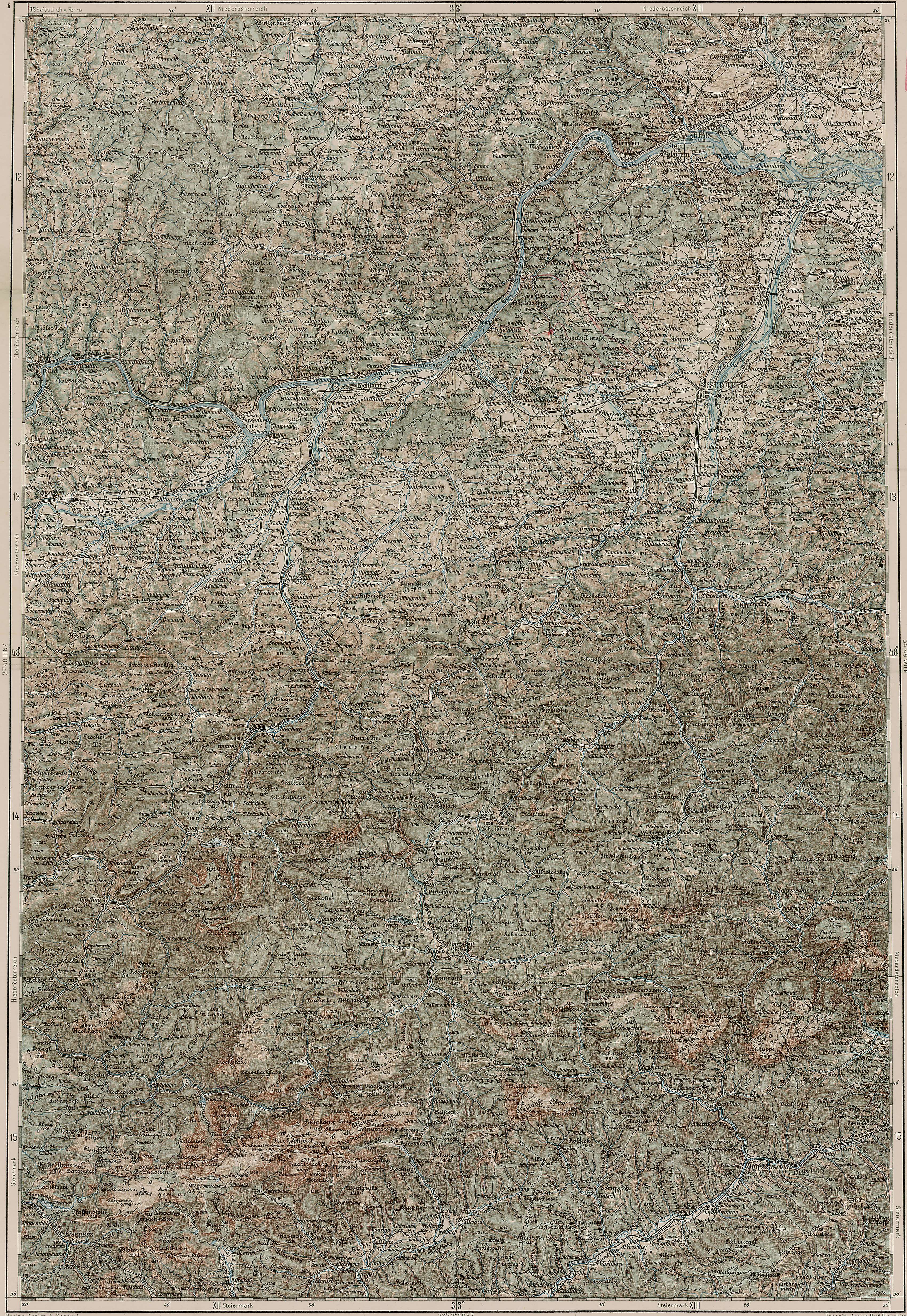
The image shows an old topographic map of the British Columbia River Basin, with text at the top and bottom of the image.
Read full description
The image shows an old topographic map of the British Columbia River Basin, with text at the top and bottom of the image. The map is a topographical representation of the area, with various geographical features such as mountains, rivers, and valleys clearly visible. The colors used are mostly shades of green, brown, and beige, giving the map a classic, timeless look.