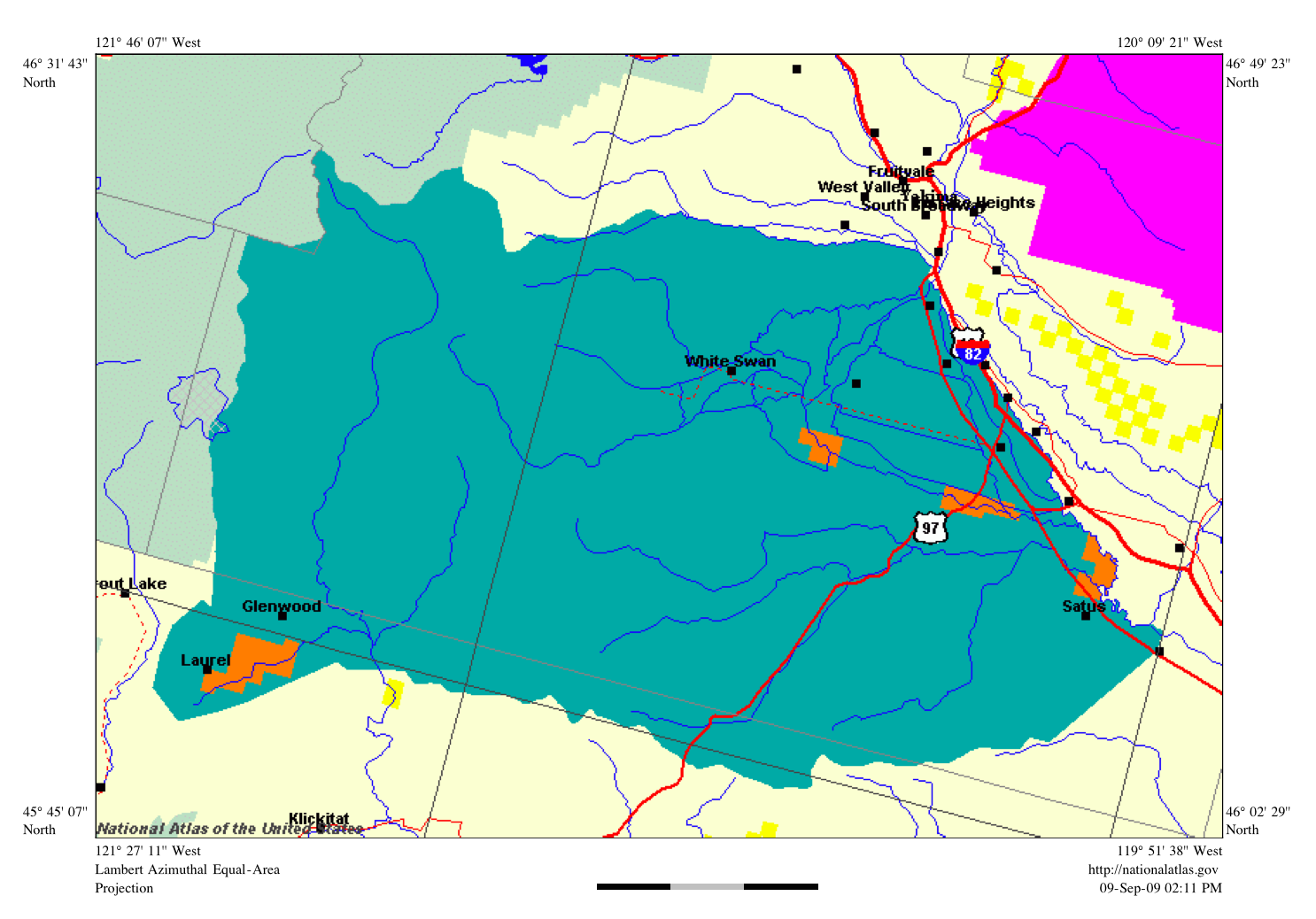
The image shows a map of the United States Geological Survey (USGS) with the location of the proposed site clearly marked.
Read full description
The image shows a map of the United States Geological Survey (USGS) with the location of the proposed site clearly marked. The map is filled with various shades of blue, green, and yellow, indicating the different elevations of the land. The text on the map provides additional information about the site, such as its elevation, terrain, and other features.