Public domain photos
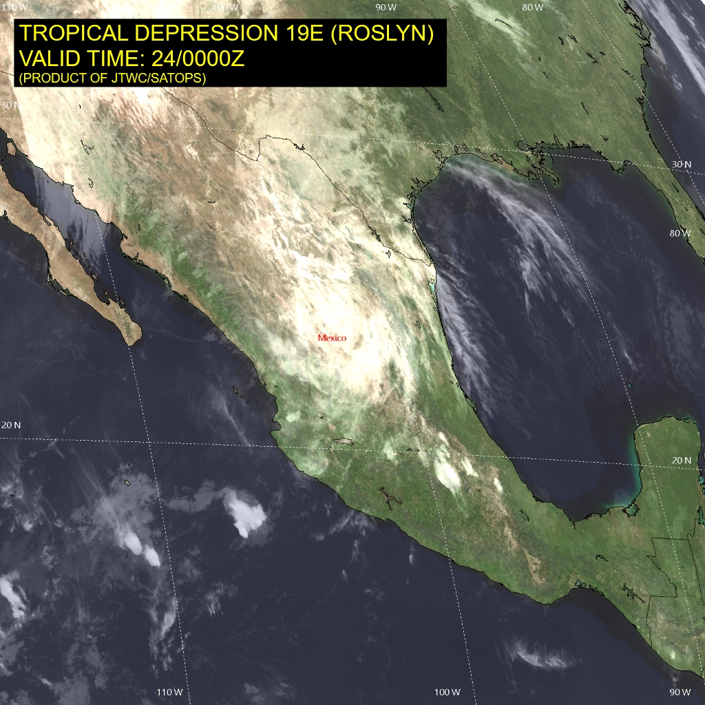
The image shows a satellite view of Tropical Depression 19e Roslyn, with text at the top and bottom of the image. The map is filled with various shades of green, indicating the severity of the tropical depression, and the text provides additional information about the region.
 Open in library