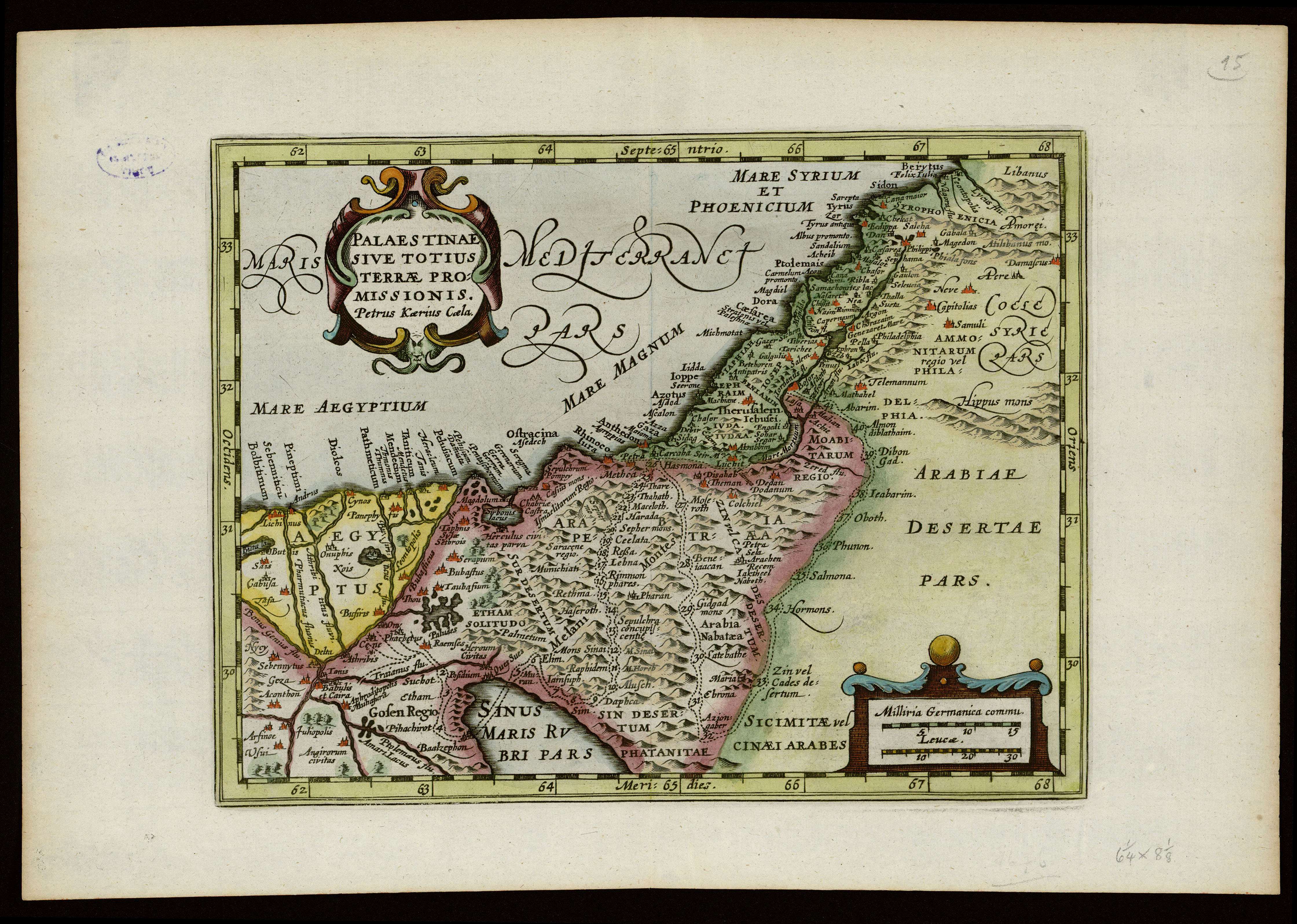
The image shows an old map of the Middle East and Africa, with text and borders around it.
Read full description
The image shows an old map of the Middle East and Africa, with text and borders around it. The map is framed in a photo frame, giving it a classic look. The text on the map is likely a description of the region, while the borders are likely used to indicate the boundaries of the countries.