← Visual Archive
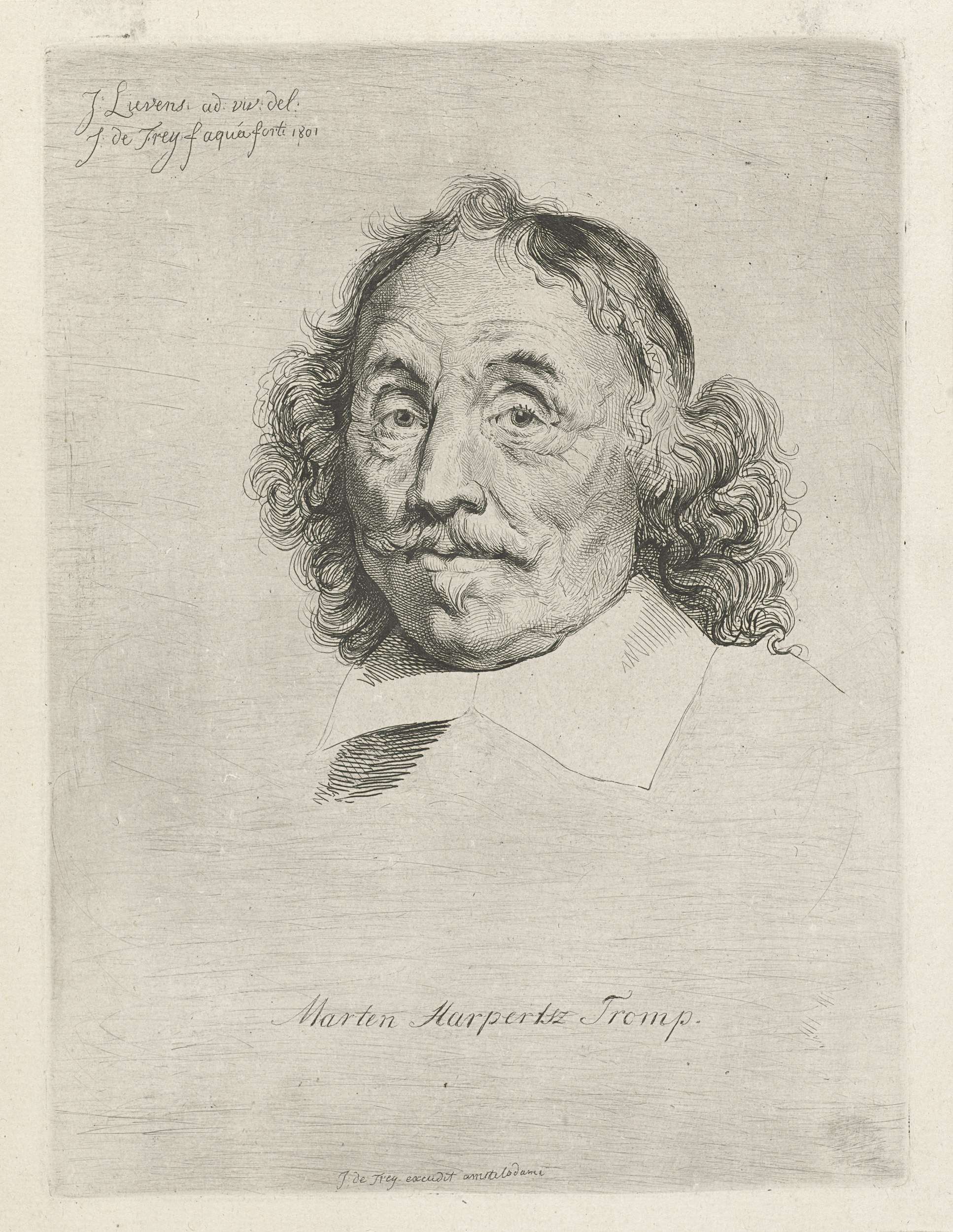
The image shows a black and white drawing of a man with long hair and a mustache. His face is clearly visible, with his eyes looking directly at the viewer and his lips slightly parted. His hair is long and wavy, and his mustache is curved and full. He has a serious expression on his face, and the paper he is drawn on has some text written on it.

More to explore

The image shows an old map of the city of London, England, with text and numbers on the paper. It is a topographic map, providing detailed information about the city's streets, landmarks, and other features.
The image shows a black and white photo of a city square with a number of buildings, windows, trees, poles, wires, and people in the foreground, and a clear sky in the background.
The image shows a black and white photo of a woman in a black dress, believed to be the first lady of the United States, Elizabeth I. She is wearing a long, dark dress with a high neckline and long sleeves, and her hair is pulled back in a bun. Her facial features are delicate and her eyes are looking off to the side, giving her a regal and dignified look.
The image shows a close up of a metal object with the number 40 on it, which appears to be a ligament.
The image shows a drawing of two women standing next to each other on a balcony, with a black background. At the bottom of the image, there is a color palette with different colors, and at the top of the paper there is some text.
The image shows a black and white photo of a train track with a tree in the background. The track is surrounded by stones, wooden objects, and poles, and there is a house on the right side of the image. The sky is visible at the top of the picture.
The image shows a black and white etching of two men working on a piece of paper, with one of them holding a chain in his hand. The other man is standing beside him, and there are various objects on the table in front of them. At the top of the image, there is some text.
The image shows an old topographic map of the city of London, England, framed in a photo frame. The map is from the 1930s and features a detailed topographical representation of the area, with roads, buildings, and other features clearly visible.
Explore collections