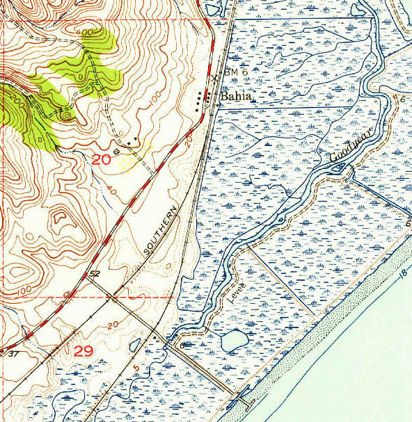
The image shows a topographic map of the area of the Gulf of Mexico, with lines, numbers, and text indicating the elevation of the land.
Read full description
The image shows a topographic map of the area of the Gulf of Mexico, with lines, numbers, and text indicating the elevation of the land. The map is detailed, showing the contours of the terrain, as well as the various elevations and elevations that make up the land's elevation.