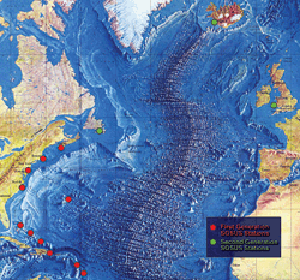
The image shows a map of the Arctic Ocean with red dots indicating the locations of earthquakes that occurred in the region.
Read full description
The image shows a map of the Arctic Ocean with red dots indicating the locations of earthquakes that occurred in the region. The text on the map provides further details about the earthquakes, such as their magnitude, location, and other important information.