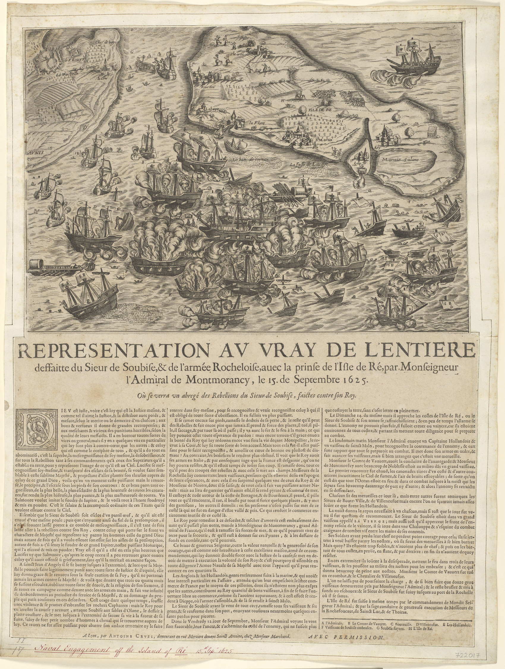
The image shows a paper with a drawing of a map of the British Isles with boats in the water and text written on it.
Read full description
The image shows a paper with a drawing of a map of the British Isles with boats in the water and text written on it. The paper appears to be a representation of the Vray de l'entiere, with the boats depicted in the center of the map. The text on the paper likely provides further information about the map, such as the names of the ships and the locations of the islands.