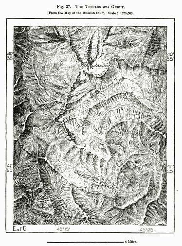
The image shows a black and white drawing of a topographic map of the Trelos-Mta Group, with text at the top and bottom of the paper.
Read full description
The image shows a black and white drawing of a topographic map of the Trelos-Mta Group, with text at the top and bottom of the paper. The map is detailed and shows the various elevations of the terrain, including mountains, valleys, and ridges.