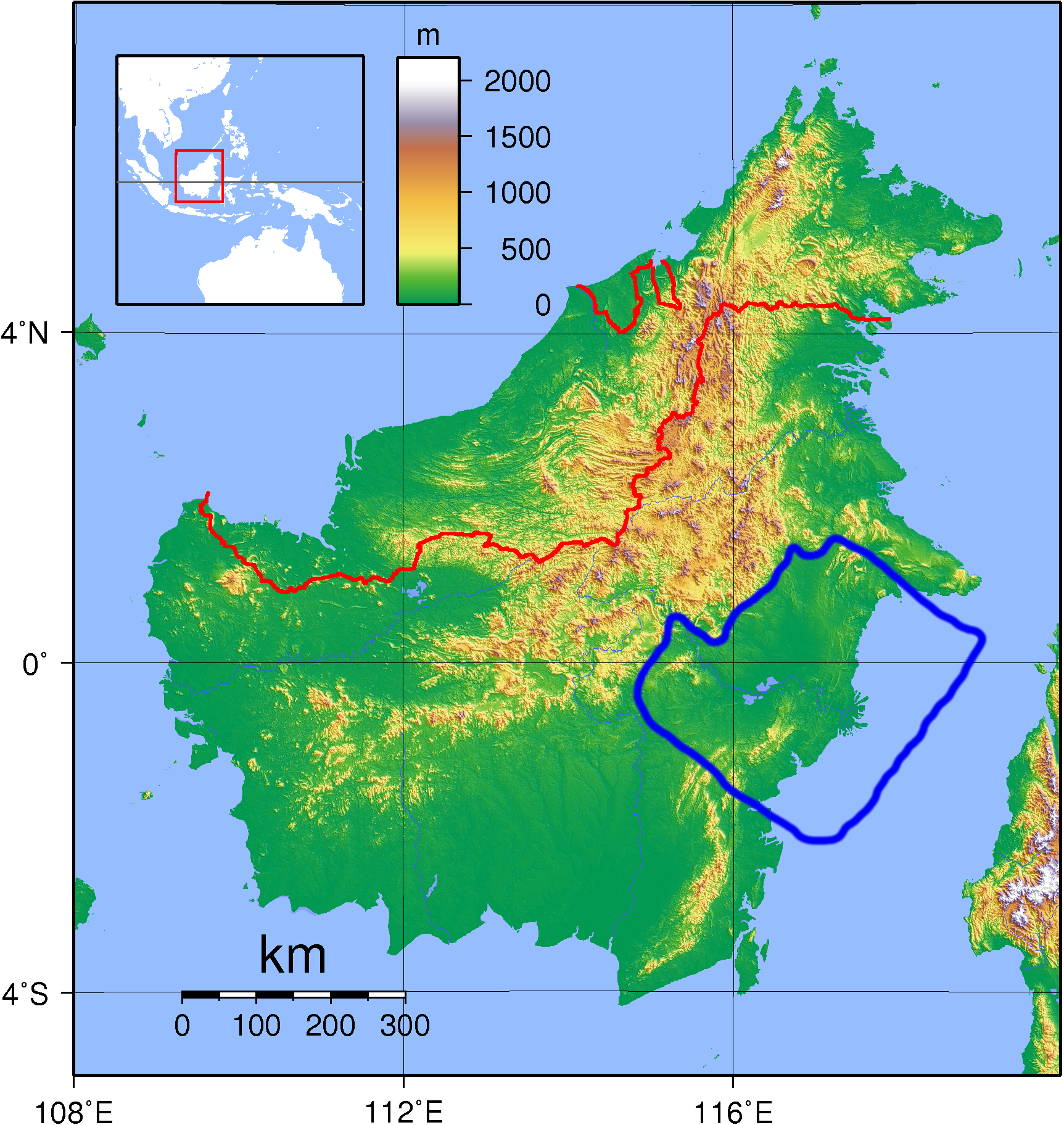
The image shows a topographic map of the British Isles, with text, numbers, and a barcode at the top and bottom.
Read full description
The image shows a topographic map of the British Isles, with text, numbers, and a barcode at the top and bottom. The map displays the elevation of the area, providing a detailed view of the terrain.