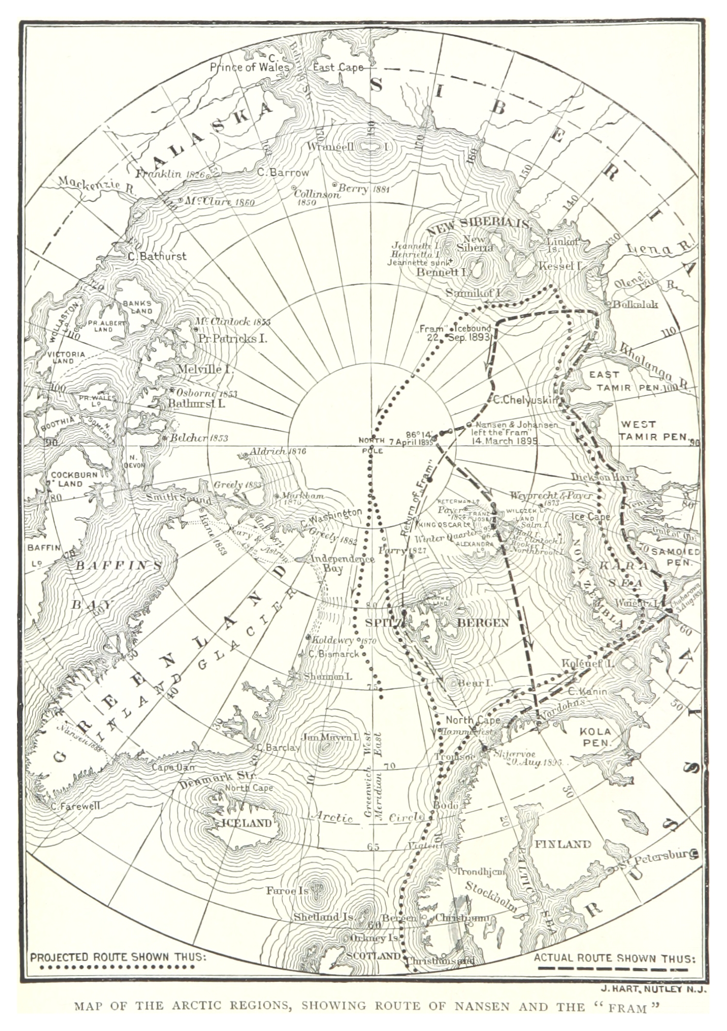
The image shows a map of the arctic regions, with the route of the Arctic Circle clearly visible.
Read full description
The image shows a map of the arctic regions, with the route of the Arctic Circle clearly visible. The map is printed on a paper, with text at the top and bottom of the image. The route is marked with a dotted line, and the map is filled with various shades of blue, green, and yellow, representing the different regions of the continent.