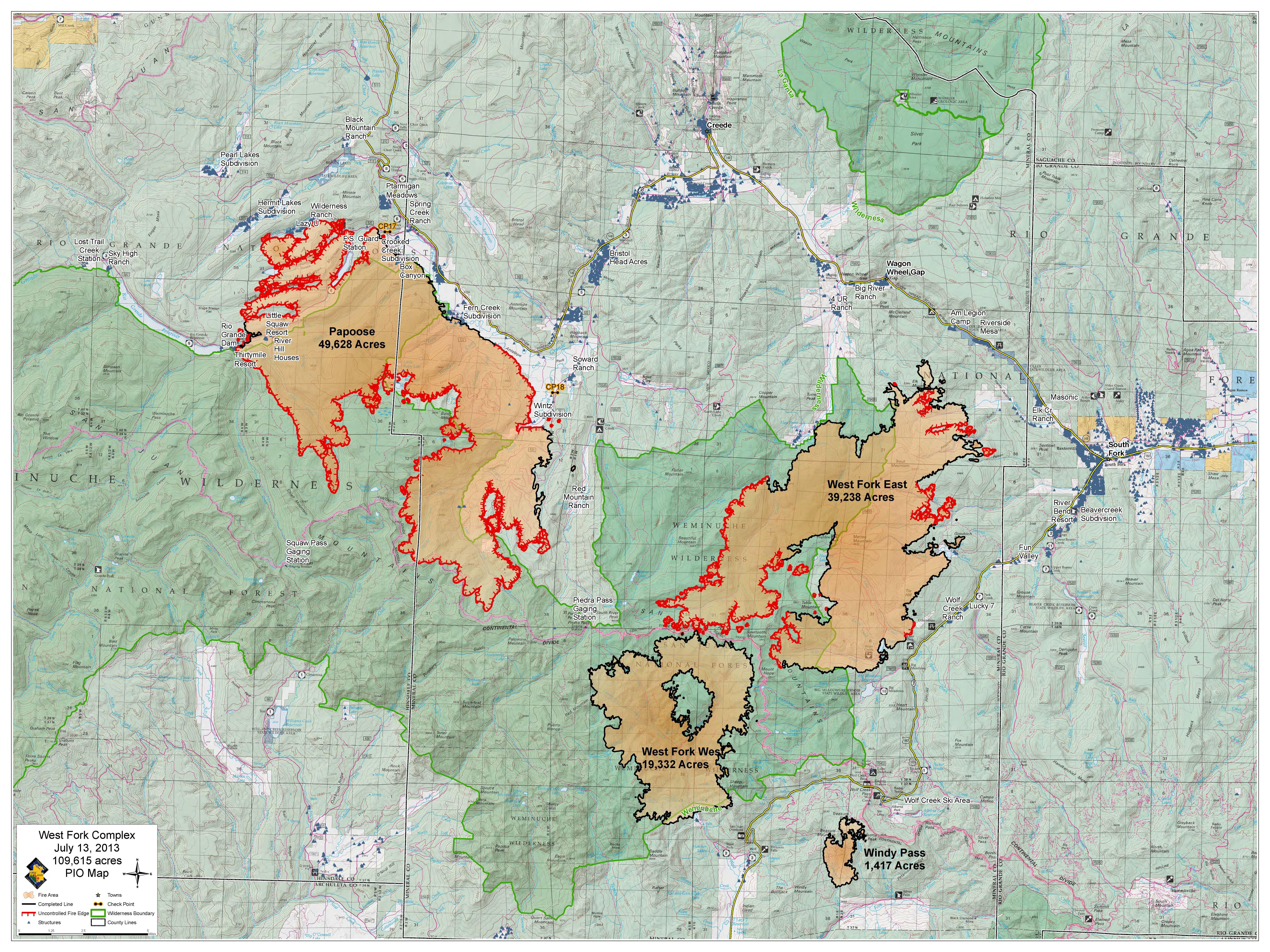
The image shows a topographic map of the West Fork Fire Complex, with text and logos indicating the location of the fire.
Read full description
The image shows a topographic map of the West Fork Fire Complex, with text and logos indicating the location of the fire. The map is filled with various shades of green, indicating the severity of the blaze, and the text provides additional information about the area, such as the number of acres, the type of fire, and any other relevant details.