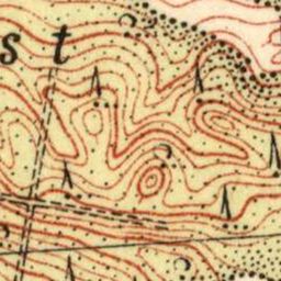
The image shows a topographic map of the area with a lot of lines and numbers, which is believed to be a topographical map from the early 20th century.
Read full description
The image shows a topographic map of the area with a lot of lines and numbers, which is believed to be a topographical map from the early 20th century. It is a detailed map that shows the contours of the terrain, including mountains, valleys, and ridges, as well as the elevation changes that make up the area. The map also includes labels for various points of interest, such as rivers, lakes, and other geographical features.