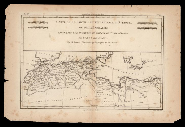
The image shows an old map of the British Isles and the Mediterranean Sea, with a black background.
Read full description
The image shows an old map of the British Isles and the Mediterranean Sea, with a black background. The map is a carte de la partie septentrionale d'afrique ou de la barbariie, depicting the extent of the Roman Empire. The paper has some text written on it, providing further details about the map.