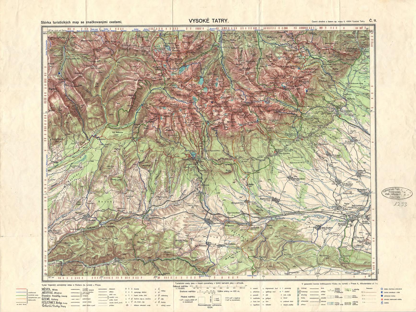
The image shows an old topographic map of the Vysoké Tatry region of the Czech Republic.
Read full description
The image shows an old topographic map of the Vysoké Tatry region of the Czech Republic. It is a detailed map with text at the top and bottom of the image. The map is filled with various shades of green, brown, and cream colors, indicating the various elevations and contours of the terrain.