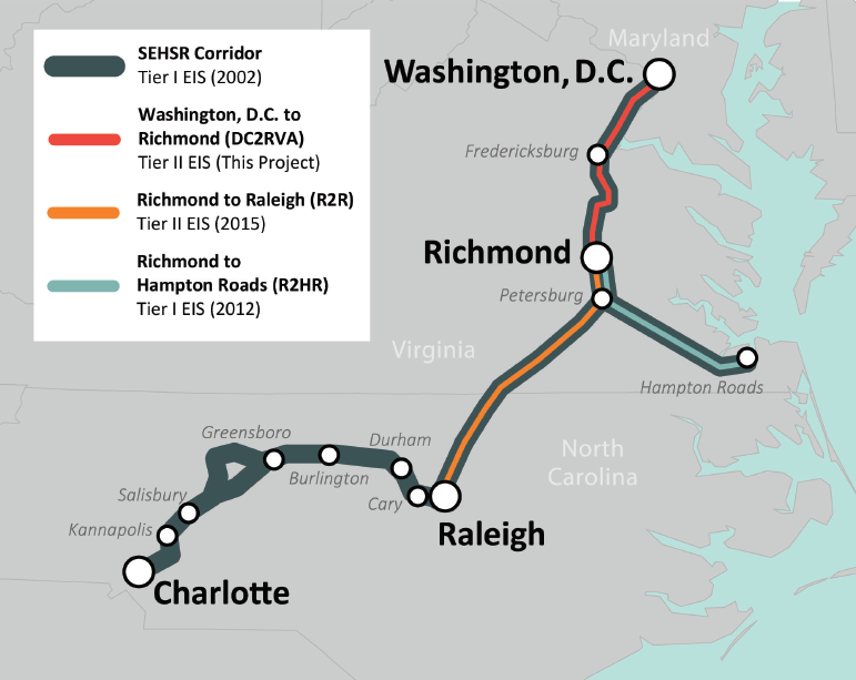
The image shows a map of the proposed route for the Richmond-Richmond Corridor, with the route highlighted in red.
Read full description
The image shows a map of the proposed route for the Richmond-Richmond Corridor, with the route highlighted in red. The text on the map provides further details about the route, such as the start and end points of the corridor, as well as the estimated time it will take to complete it.