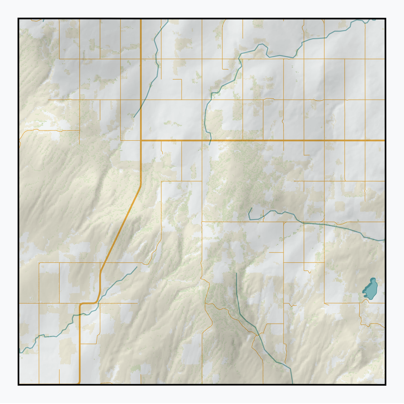
The image shows a topographic map of the state of Colorado with a border around it.
Read full description
The image shows a topographic map of the state of Colorado with a border around it. The map is filled with various shades of green, blue, and yellow, indicating the various elevations and contours of the terrain. The border around the map is a light gray color, providing a stark contrast to the vibrant colors of the map.