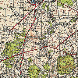
The image shows an old topographic map of the area with a red line running through it.
Read full description
The image shows an old topographic map of the area with a red line running through it. The map is detailed and shows the contours of the terrain, including roads, mountains, and other features. The red line is clearly visible, indicating the various elevations and elevations of the map.