Public domain photos
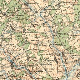
The image shows an old topographic map of the area around Wawjorka in 1919. It is a top view of the map, showing the various features of the city, such as roads, buildings, and other landmarks, as well as the surrounding area.
 Open in library