Pixogenix
Stock & graphics
Photography
Stock photos
Museum collections
Graphics
SVG icons
Animated icons
Illustrations
Fonts
Patterns & backgrounds
Textures, HDRIs & 3D
Video & audio
Stock video
Motion templates
Music
Sound effects
Design templates
Social & digital
Social posts
Stories
YouTube thumbnails
Banners & covers
Websites
Print & business
Flyers
Posters
Invitations
Business cards
CVs & résumés
Presentations
Brand & stationery
Logos
Greeting cards
Letterheads & letters
Workspace
Design editor
CV maker
Presentation maker
All free tools
Creative projects
Photo editing tools
Stock search
All categories
AI tools
Images
Image generator
Image editor
Product photography
Branded social posts
Video & audio
Video generator
Voice generator
Music generator
Sound effects generator
Account
Plans & credits
My studio
⌕
Search
⌘ K
Pricing
Sign in ↗
Design library
Public domain photos
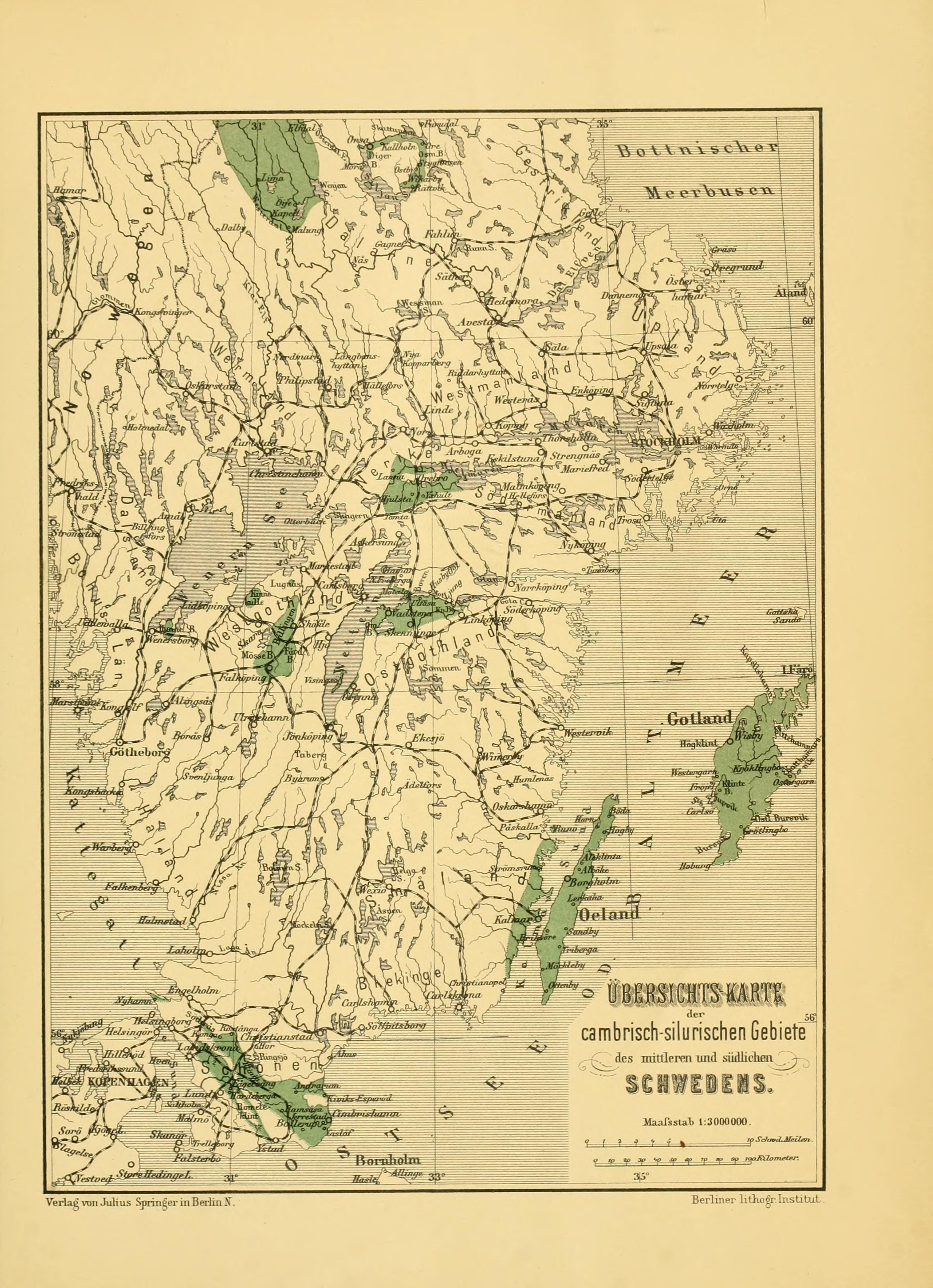
The image shows an old map of the British Isles in the 19th century. It is a paper map with text written on it, detailing the various geographical features of the area.
Open in library
 Open in library