Public domain photos
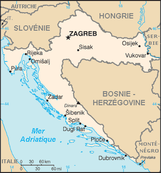
The image shows a map of Croatia with the borders of the country clearly visible. It is a detailed map, showing the various cities, towns, rivers, and other geographical features of the region. The colors used are mostly shades of blue and green, with some yellow and white accents. The map also includes labels for the various bodies of water, such as rivers, lakes, and mountains.
 Open in library