Public domain photos
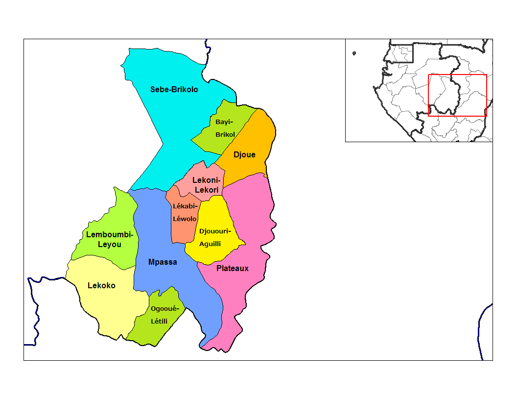
The image shows a political map of the Democratic Republic of the Congo, with different colors representing the provinces and their capitals. On the right side of the image, there is a map of a city, providing a detailed overview of the region.
 Open in library