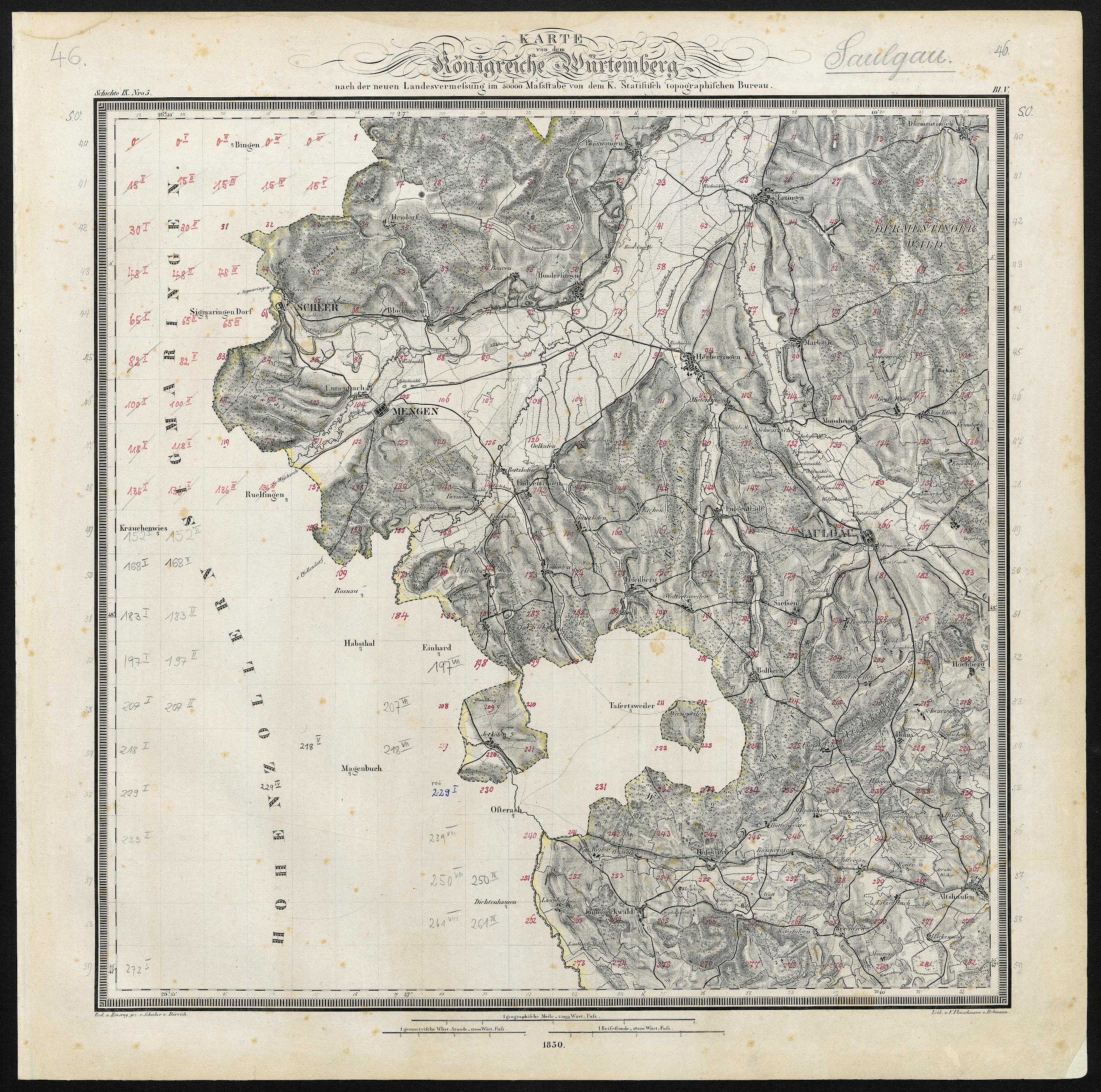
The image shows an old map of the British Isles in the 19th century, framed in a photo frame.
Read full description
The image shows an old map of the British Isles in the 19th century, framed in a photo frame. The map is detailed and shows the various geographical features of the area, such as mountains, rivers, and cities. The frame is a simple black color, allowing the map to stand out and be the focus of the image.