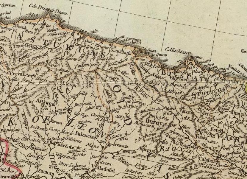
The image shows an old map of the British Isles with a red line in the middle of it.
Read full description
The image shows an old map of the British Isles with a red line in the middle of it. The map is detailed and shows the various geographical features of the region, such as rivers, mountains, and cities. The red line indicates the boundaries of the land, while the black lines represent the cities and towns within the region.