Public domain photos
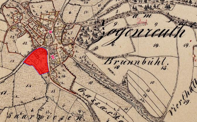
The image shows an old map of the city of Brunnbuhl, Germany, with a red area in the center. The map is detailed, showing the streets, buildings, and other landmarks of the area. The red area stands out against the cream-colored background of the map, making it easy to identify the exact location.
 Open in library