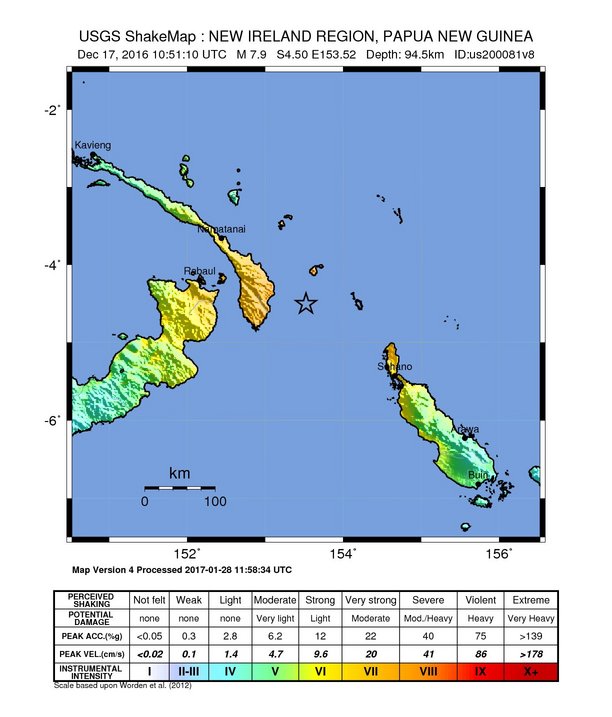
The image shows a map of Papua New Guinea with the USGS ShakeMap for December 17, 2016.
Read full description
The image shows a map of Papua New Guinea with the USGS ShakeMap for December 17, 2016. The map is filled with various shades of green, indicating the varying levels of seismic activity in the region. The text at the top and bottom of the image provides additional information about the map, such as the magnitude of the earthquake and the location of the quake.