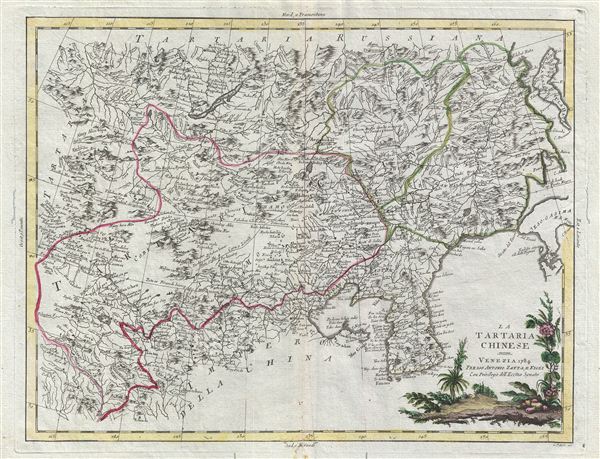
The image shows a map of the British Isles with a red line in the middle of it, surrounded by text and pictures of trees.
Read full description
The image shows a map of the British Isles with a red line in the middle of it, surrounded by text and pictures of trees. The map is of the Tartaria of China, with its various geographical features such as rivers, mountains, and cities labeled. The text on the map provides additional information about the region, such as the names of cities, towns, and other geographical features. The trees in the image are lush and green, adding a touch of nature to the map.