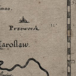
The image shows an old book with a drawing of a river and a boat on it, along with text and a scale.
Read full description
The image shows an old book with a drawing of a river and a boat on it, along with text and a scale. The book is titled "Prazeworsk and Marollaw" and is likely a map of the area. The drawing of the river is detailed and shows the various geographical features of the region, such as mountains, rivers, and cities. The scale is likely used to measure the depth of the map, allowing for accurate measurements of the terrain.