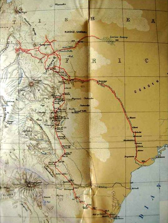
The image shows an old map with a red line running through it, depicting the route of the British Empire.
Read full description
The image shows an old map with a red line running through it, depicting the route of the British Empire. The map is filled with intricate details, such as mountains, rivers, and cities, and the red line indicates the various stops along the route. The text on the map provides further information about the route, including the names of the cities and towns along the way.