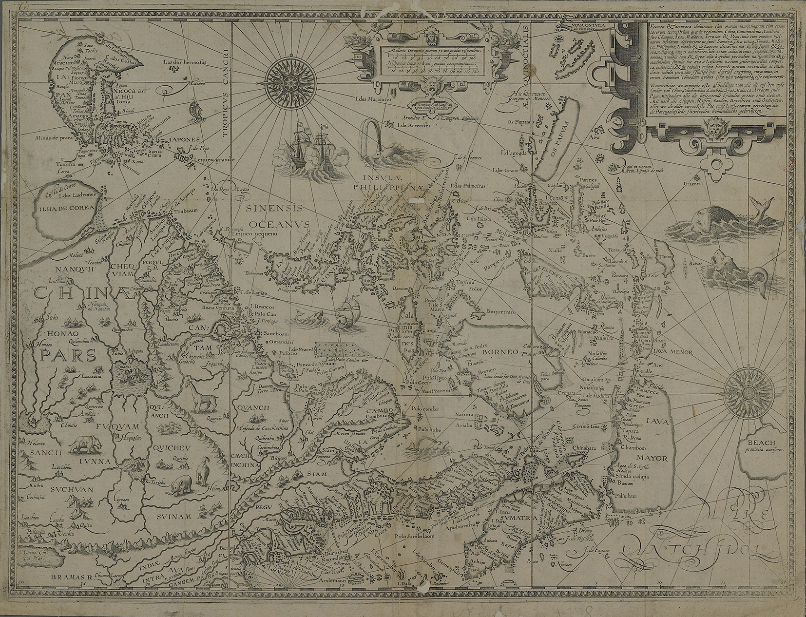
The image shows an old map of the British Isles and the Mediterranean Sea, with text written on it.
Read full description
The image shows an old map of the British Isles and the Mediterranean Sea, with text written on it. It is a detailed map, showing the various geographical features of the region, such as rivers, mountains, and cities. The colors used are mostly shades of blue and green, with some yellow and white accents. The map is framed by a thin black border, giving it a classic look.