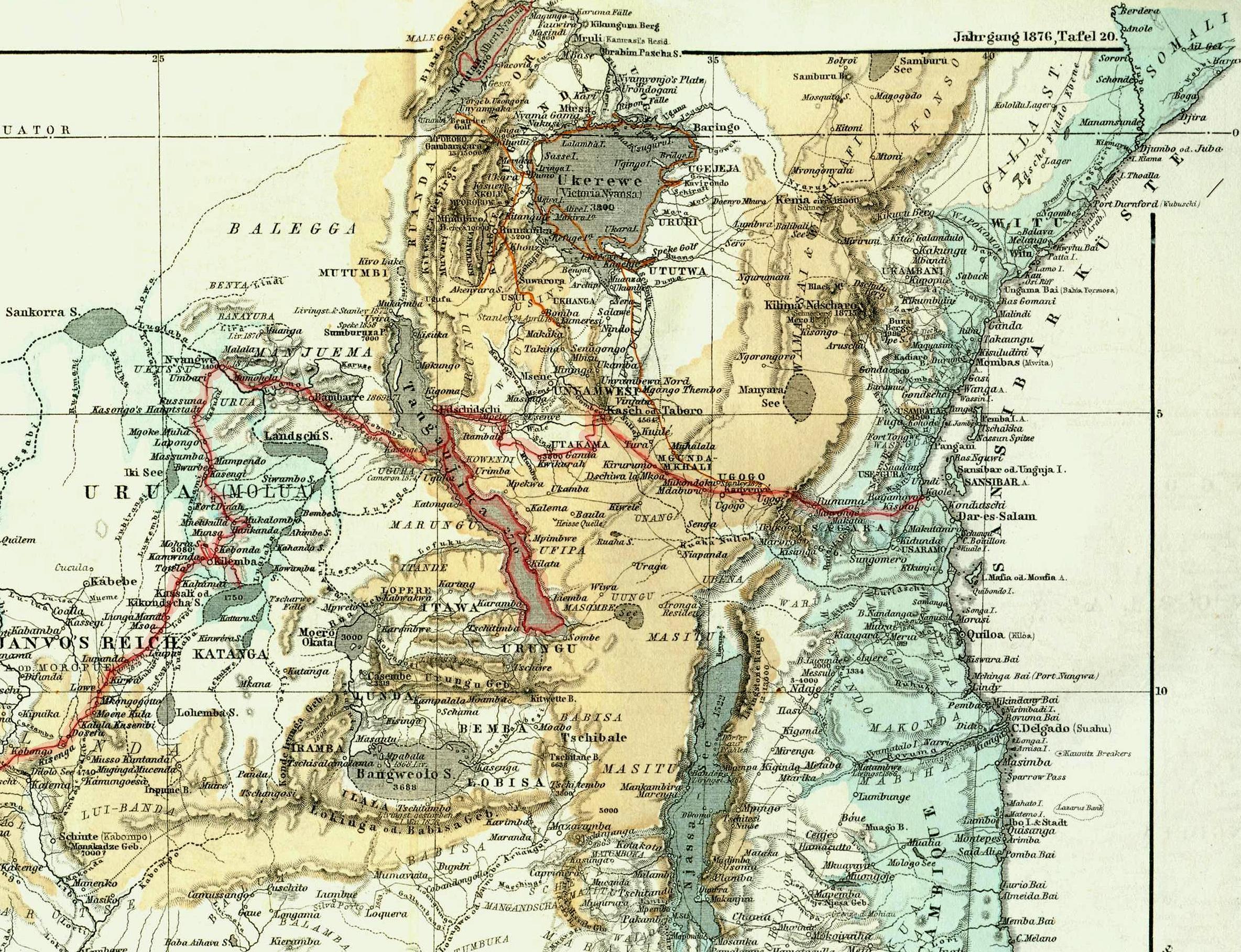
The image shows an old map of the Middle East with a red line running through it.
Read full description
The image shows an old map of the Middle East with a red line running through it. The map is from 1876 and is a detailed representation of the region, showing the various cities, rivers, and other geographical features. The red line indicates the route of the journey, and the text on the map provides additional information about the region.